Area Overview for L15 3LD
Photos of L15 3LD
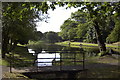
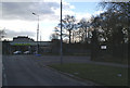
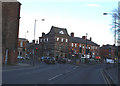
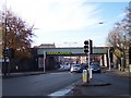
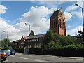
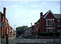
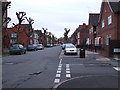
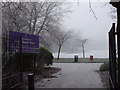
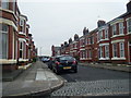
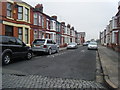
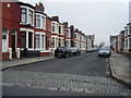
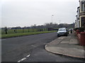
50 photos from this area
Area Information
Key information about the L15 3LD including its size, population, and administrative classification.
- Area Type
- Postcode
- Area Size
- 6787 m²
- Population
- 1786
- Population Density
- 17273 people/km²
House Prices in L15 3LD
34
Properties
£2,621,881
Average Sold Price
£38,000
Lowest Price
£39,887,285
Highest Price
Showing 34 properties
| Address | Type | Beds | Baths | Last Sale Price | Last Sale Date | |
|---|---|---|---|---|---|---|
| 29 Borrowdale Road, Liverpool, L15 3LD | house | - | - | £224,000 | Sep 2023 | |
| 63 Borrowdale Road, Liverpool, L15 3LD | house | 6 | 2 | £39,887,285 | Nov 2018 | |
| 41 Borrowdale Road, Liverpool, L15 3LD | Terraced | 6 | 2 | £199,500 | Jun 2018 | |
| 31 Borrowdale Road, Liverpool, L15 3LD | house | - | - | £190,000 | Jul 2017 | |
| 21 Borrowdale Road, Liverpool, L15 3LD | house | 7 | 2 | £145,000 | Jun 2017 | |
| 23 Borrowdale Road, Liverpool, L15 3LD | Terraced | 7 | - | £180,000 | Oct 2015 | |
| 9 Borrowdale Road, Liverpool, L15 3LD | Terraced | 7 | 2 | £215,500 | Jun 2015 | |
| 1 Borrowdale Road, Liverpool, L15 3LD | Detached | 6 | 2 | £110,000 | Jul 2012 | |
| 5 Borrowdale Road, Liverpool, L15 3LD | house | 6 | 2 | £125,000 | Dec 2010 | |
| 49 Borrowdale Road, Liverpool, L15 3LD | Terraced | 5 | 2 | £75,000 | Oct 2005 |
Page 1 of 4
Energy Efficiency in L15 3LD
Amenities
Schools
| Rank | School | Type | Entry gender | Ages |
|---|
Explore more schools in this area
Go to Schools tabDemographics
Household Size
Family (3-5 people)
most common
Accommodation Type
Houses
most common
Tenure
38
majority
Ethnic Group
White
most common
Religion
N/A
most common
Household Composition
N/A
most common
Age
22
median
Young Adults (15-29 years)
most common
Household Deprivation
N/A
with no deprivation
NS-SEC
15
in Lower managerial occupations
Explore more demographic insights in this area
Go to Demographics tabPlanning
Planning Constraints
- Flood RiskPremium
- Ramsar Wetland SitesPremium
- Area of Outstanding Natural BeautyPremium
- Protected Nature ReservePremium
- Protected WoodlandPremium