Area Overview for L12 9LU
Photos of L12 9LU
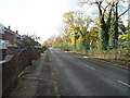
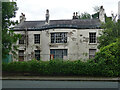
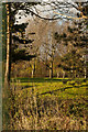
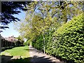
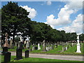
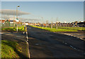
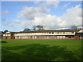
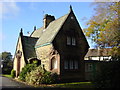
14 photos from this area
Area Information
Key information about the L12 9LU including its size, population, and administrative classification.
- Area Type
- Postcode
- Area Size
- 1.8 hectares
- Population
- 1618
- Population Density
- 3986 people/km²
House Prices in L12 9LU
47
Properties
£123,955
Average Sold Price
£41,000
Lowest Price
£250,000
Highest Price
Showing 47 properties
| Address | Type | Beds | Baths | Last Sale Price | Last Sale Date | |
|---|---|---|---|---|---|---|
| 14 St Andrews Avenue, Liverpool, L12 9LU | Semi-detached | 2 | 1 | £202,500 | May 2025 | |
| 25 St Andrews Avenue, Liverpool, L12 9LU | house | - | - | £250,000 | May 2024 | |
| 17 St Andrews Avenue, Liverpool, L12 9LU | Semi-detached | 2 | 1 | £135,000 | Feb 2024 | |
| 44 St Andrews Avenue, Liverpool, L12 9LU | Semi-detached | 4 | 1 | £228,000 | Jan 2024 | |
| 33 St Andrews Avenue, Liverpool, L12 9LU | Bungalow | 2 | 1 | £205,000 | Jun 2023 | |
| 27 St Andrews Avenue, Liverpool, L12 9LU | Bungalow | - | - | £225,000 | Feb 2022 | |
| 38A St Andrews Avenue, Liverpool, L12 9LU | house | - | - | £124,950 | Mar 2018 | |
| 22 St Andrews Avenue, Liverpool, L12 9LU | house | 3 | - | £129,950 | Dec 2015 | |
| 3 St Andrews Avenue, Liverpool, L12 9LU | Semi-detached | 2 | 1 | £119,000 | Sep 2015 | |
| 29 St Andrews Avenue, Liverpool, L12 9LU | Bungalow | 2 | - | £157,000 | Oct 2014 |
Page 1 of 5
Energy Efficiency in L12 9LU
Amenities
Schools
| Rank | School | Type | Entry gender | Ages |
|---|
Explore more schools in this area
Go to Schools tabDemographics
Household Size
Family (3-5 people)
most common
Accommodation Type
Houses
most common
Tenure
65
majority
Ethnic Group
White
most common
Religion
N/A
most common
Household Composition
N/A
most common
Age
47
median
Adults (30-64 years)
most common
Household Deprivation
N/A
with no deprivation
NS-SEC
26
in Lower managerial occupations
Explore more demographic insights in this area
Go to Demographics tabPlanning
Planning Constraints
- Flood RiskPremium
- Ramsar Wetland SitesPremium
- Area of Outstanding Natural BeautyPremium
- Protected Nature ReservePremium
- Protected WoodlandPremium