Area Overview for L12 9HW
Photos of L12 9HW
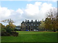
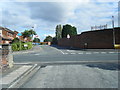
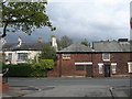
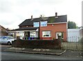
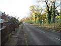
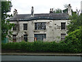
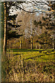
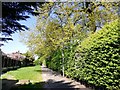

14 photos from this area
Area Information
Key information about the L12 9HW including its size, population, and administrative classification.
- Area Type
- Postcode
- Area Size
- 1.6 hectares
- Population
- 1618
- Population Density
- 3986 people/km²
House Prices in L12 9HW
38
Properties
£170,625
Average Sold Price
£73,000
Lowest Price
£283,000
Highest Price
Showing 38 properties
| Address | Type | Beds | Baths | Last Sale Price | Last Sale Date | |
|---|---|---|---|---|---|---|
| 98A Yew Tree Lane, Liverpool, L12 9HW | Semi-detached | 3 | 1 | £232,000 | Nov 2024 | |
| 146 Yew Tree Lane, Liverpool, L12 9HW | Semi-detached | 3 | 1 | £190,000 | Oct 2022 | |
| 162 Yew Tree Lane, Liverpool, L12 9HW | Semi-detached | 3 | 1 | £185,000 | Aug 2022 | |
| 136 Yew Tree Lane, Liverpool, L12 9HW | house | - | - | £203,000 | Jun 2022 | |
| 100A Yew Tree Lane, Liverpool, L12 9HW | house | - | - | £283,000 | Mar 2022 | |
| 152 Yew Tree Lane, Liverpool, L12 9HW | Semi-detached | 3 | 1 | £220,000 | Mar 2022 | |
| 160 Yew Tree Lane, Liverpool, L12 9HW | house | - | - | £128,000 | Dec 2021 | |
| 150 Yew Tree Lane, Liverpool, L12 9HW | Semi-detached | 3 | 1 | £180,000 | Aug 2020 | |
| 128 Yew Tree Lane, Liverpool, L12 9HW | Semi-detached | 3 | 1 | £173,000 | Oct 2019 | |
| 110 Yew Tree Lane, Liverpool, L12 9HW | Semi-detached | 4 | - | £240,000 | Apr 2019 |
Page 1 of 4
Energy Efficiency in L12 9HW
Amenities
Schools
| Rank | School | Type | Entry gender | Ages |
|---|
Explore more schools in this area
Go to Schools tabDemographics
Household Size
Family (3-5 people)
most common
Accommodation Type
Houses
most common
Tenure
65
majority
Ethnic Group
White
most common
Religion
N/A
most common
Household Composition
N/A
most common
Age
47
median
Adults (30-64 years)
most common
Household Deprivation
N/A
with no deprivation
NS-SEC
26
in Lower managerial occupations
Explore more demographic insights in this area
Go to Demographics tabPlanning
Planning Constraints
- Flood RiskPremium
- Ramsar Wetland SitesPremium
- Area of Outstanding Natural BeautyPremium
- Protected Nature ReservePremium
- Protected WoodlandPremium