Area Overview for L10 9NG
Photos of L10 9NG
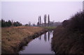
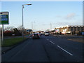
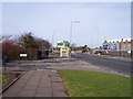
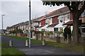
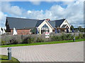
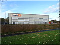
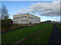
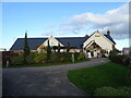
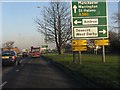
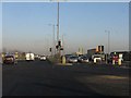
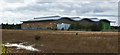
21 photos from this area
Area Information
Key information about the L10 9NG including its size, population, and administrative classification.
- Area Type
- Postcode
- Area Size
- 57.4 hectares
- Population
- 1388
- Population Density
- 1416 people/km²
House Prices in L10 9NG
72
Properties
£167,263
Average Sold Price
£67,950
Lowest Price
£300,000
Highest Price
Showing 72 properties
| Address | Type | Beds | Baths | Last Sale Price | Last Sale Date | |
|---|---|---|---|---|---|---|
| 3 Blueberry Fields, Liverpool, L10 9NG | Detached | 4 | 3 | £265,000 | Jul 2025 | |
| 65 Blueberry Fields, Liverpool, L10 9NG | Detached | 3 | 2 | £280,000 | Apr 2025 | |
| 23 Blueberry Fields, Liverpool, L10 9NG | Detached | 4 | 3 | £267,000 | Jun 2024 | |
| 36 Blueberry Fields, Liverpool, L10 9NG | Detached | 4 | 3 | £300,000 | Nov 2023 | |
| 66 Blueberry Fields, Liverpool, L10 9NG | Detached | 4 | - | £265,000 | Aug 2023 | |
| 52 Blueberry Fields, Liverpool, L10 9NG | house | - | - | £235,000 | Dec 2022 | |
| 69 Blueberry Fields, Liverpool, L10 9NG | house | 3 | - | £271,000 | Mar 2022 | |
| 56 Blueberry Fields, Liverpool, L10 9NG | Detached | 3 | - | £235,000 | Mar 2021 | |
| 46 Blueberry Fields, Liverpool, L10 9NG | Detached | 3 | 1 | £160,000 | Apr 2019 | |
| 35 Blueberry Fields, Liverpool, L10 9NG | Detached | 4 | 1 | £180,000 | Feb 2019 |
Page 1 of 8
Energy Efficiency in L10 9NG
Amenities
Schools
| Rank | School | Type | Entry gender | Ages |
|---|
Explore more schools in this area
Go to Schools tabDemographics
Household Size
One person
most common
Accommodation Type
Houses
most common
Tenure
48
majority
Ethnic Group
White
most common
Religion
N/A
most common
Household Composition
N/A
most common
Age
47
median
Adults (30-64 years)
most common
Household Deprivation
N/A
with no deprivation
NS-SEC
19
in Lower managerial occupations
Explore more demographic insights in this area
Go to Demographics tabPlanning
Planning Constraints
- Flood RiskPremium
- Ramsar Wetland SitesPremium
- Area of Outstanding Natural BeautyPremium
- Protected Nature ReservePremium
- Protected WoodlandPremium