Area Overview for L10 9ND
Photos of L10 9ND
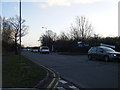
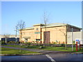
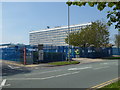
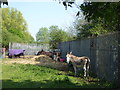
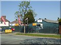
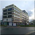

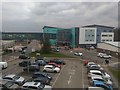
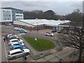
25 photos from this area
Area Information
Key information about the L10 9ND including its size, population, and administrative classification.
- Area Type
- Postcode
- Area Size
- 9185 m²
- Population
- 1834
- Population Density
- 4726 people/km²
House Prices in L10 9ND
34
Properties
£80,640
Average Sold Price
£32,000
Lowest Price
£191,000
Highest Price
Showing 34 properties
| Address | Type | Beds | Baths | Last Sale Price | Last Sale Date | |
|---|---|---|---|---|---|---|
| 26 Montrovia Crescent, Liverpool, L10 9ND | house | 3 | 2 | £191,000 | Jul 2025 | |
| 56 Montrovia Crescent, Liverpool, L10 9ND | Semi-detached | 3 | 1 | £150,000 | Jan 2024 | |
| 6 Montrovia Crescent, Liverpool, L10 9ND | house | - | - | £42,075 | Nov 2021 | |
| 40 Montrovia Crescent, Liverpool, L10 9ND | house | - | - | £80,000 | Oct 2021 | |
| 20 Montrovia Crescent, Liverpool, L10 9ND | house | - | - | £32,000 | Aug 2016 | |
| 2 Montrovia Crescent, Liverpool, L10 9ND | Terraced | 3 | - | £100,000 | Jul 2016 | |
| 60 Montrovia Crescent, Liverpool, L10 9ND | house | 3 | 1 | £71,000 | May 2014 | |
| 68 Montrovia Crescent, Liverpool, L10 9ND | house | 3 | - | £62,000 | May 2012 | |
| 34 Montrovia Crescent, Liverpool, L10 9ND | house | 3 | - | £57,000 | Aug 2011 | |
| 4 Montrovia Crescent, Liverpool, L10 9ND | house | - | - | £118,000 | Feb 2008 |
Page 1 of 4
Energy Efficiency in L10 9ND
Amenities
Schools
| Rank | School | Type | Entry gender | Ages |
|---|
Explore more schools in this area
Go to Schools tabDemographics
Household Size
Family (3-5 people)
most common
Accommodation Type
Houses
most common
Tenure
60
majority
Ethnic Group
White
most common
Religion
N/A
most common
Household Composition
N/A
most common
Age
47
median
Adults (30-64 years)
most common
Household Deprivation
N/A
with no deprivation
NS-SEC
29
in Lower managerial occupations
Explore more demographic insights in this area
Go to Demographics tabPlanning
Planning Constraints
- Flood RiskPremium
- Ramsar Wetland SitesPremium
- Area of Outstanding Natural BeautyPremium
- Protected Nature ReservePremium
- Protected WoodlandPremium