Area Overview for L10 8LW
Photos of L10 8LW
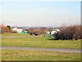
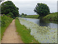
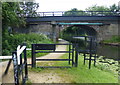
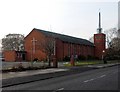
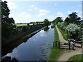
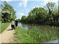
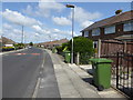
39 photos from this area
Area Information
Key information about the L10 8LW including its size, population, and administrative classification.
- Area Type
- Postcode
- Area Size
- 1.1 hectares
- Population
- 1360
- Population Density
- 4242 people/km²
House Prices in L10 8LW
23
Properties
£155,117
Average Sold Price
£57,000
Lowest Price
£260,000
Highest Price
Showing 23 properties
| Address | Type | Beds | Baths | Last Sale Price | Last Sale Date | |
|---|---|---|---|---|---|---|
| 18 Lancing Drive, Aintree, L10 8LW | Bungalow | 2 | - | £187,950 | Mar 2024 | |
| 28 Lancing Drive, Aintree, L10 8LW | Semi-detached | 2 | 1 | £260,000 | Feb 2024 | |
| 4 Lancing Drive, Aintree, L10 8LW | Semi-detached | 4 | 1 | £257,000 | Mar 2020 | |
| 42 Lancing Drive, Aintree, L10 8LW | Bungalow | 3 | - | £195,000 | Oct 2016 | |
| 6 Lancing Drive, Aintree, L10 8LW | Bungalow | 3 | - | £182,000 | Sep 2014 | |
| 26 Lancing Drive, Aintree, L10 8LW | Semi-detached | 2 | 1 | £151,000 | Feb 2014 | |
| 24 Lancing Drive, Aintree, L10 8LW | Bungalow | 2 | - | £120,000 | Jul 2012 | |
| 32 Lancing Drive, Aintree, L10 8LW | Bungalow | - | - | £159,000 | Jun 2010 | |
| 8 Lancing Drive, Aintree, L10 8LW | Semi-detached | - | - | £156,500 | Oct 2003 | |
| 30 Lancing Drive, Aintree, L10 8LW | Bungalow | - | - | £76,000 | Feb 2003 |
Page 1 of 3
Energy Efficiency in L10 8LW
Amenities
Schools
| Rank | School | Type | Entry gender | Ages |
|---|
Explore more schools in this area
Go to Schools tabDemographics
Household Size
Two person
most common
Accommodation Type
Houses
most common
Tenure
90
majority
Ethnic Group
White
most common
Religion
N/A
most common
Household Composition
N/A
most common
Age
47
median
Adults (30-64 years)
most common
Household Deprivation
N/A
with no deprivation
NS-SEC
31
in Lower managerial occupations
Explore more demographic insights in this area
Go to Demographics tabPlanning
Planning Constraints
- Flood RiskPremium
- Ramsar Wetland SitesPremium
- Area of Outstanding Natural BeautyPremium
- Protected Nature ReservePremium
- Protected WoodlandPremium