Area Overview for L10 3JP
Photos of L10 3JP
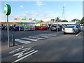
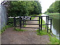
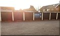
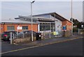
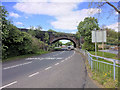

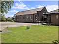
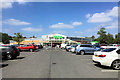
40 photos from this area
Area Information
Key information about the L10 3JP including its size, population, and administrative classification.
- Area Type
- Postcode
- Area Size
- 8044 m²
- Population
- 1300
- Population Density
- 2169 people/km²
House Prices in L10 3JP
16
Properties
£144,925
Average Sold Price
£80,000
Lowest Price
£175,250
Highest Price
Showing 16 properties
| Address | Type | Beds | Baths | Last Sale Price | Last Sale Date | |
|---|---|---|---|---|---|---|
| 153 Oriel Drive, Aintree, L10 3JP | house | - | - | £170,000 | Nov 2022 | |
| 131 Oriel Drive, Aintree, L10 3JP | house | - | - | £160,000 | Jul 2022 | |
| 147 Oriel Drive, Aintree, L10 3JP | house | - | - | £135,000 | Jul 2020 | |
| 129 Oriel Drive, Aintree, L10 3JP | house | - | - | £175,250 | Oct 2019 | |
| 157 Oriel Drive, Aintree, L10 3JP | house | 3 | - | £159,995 | May 2019 | |
| 137 Oriel Drive, Aintree, L10 3JP | house | - | - | £139,950 | May 2019 | |
| 145 Oriel Drive, Aintree, L10 3JP | Semi-detached | 3 | - | £159,950 | Feb 2018 | |
| 151 Oriel Drive, Aintree, L10 3JP | house | - | - | £169,500 | Jul 2017 | |
| 149 Oriel Drive, Aintree, L10 3JP | house | 3 | - | £118,500 | May 2013 | |
| 141 Oriel Drive, Aintree, L10 3JP | house | - | - | £156,000 | Nov 2006 |
Page 1 of 2
Energy Efficiency in L10 3JP
Amenities
Schools
| Rank | School | Type | Entry gender | Ages |
|---|
Explore more schools in this area
Go to Schools tabDemographics
Household Size
Family (3-5 people)
most common
Accommodation Type
Houses
most common
Tenure
78
majority
Ethnic Group
White
most common
Religion
N/A
most common
Household Composition
N/A
most common
Age
47
median
Adults (30-64 years)
most common
Household Deprivation
N/A
with no deprivation
NS-SEC
27
in Lower managerial occupations
Explore more demographic insights in this area
Go to Demographics tabPlanning
Planning Constraints
- Flood RiskPremium
- Ramsar Wetland SitesPremium
- Area of Outstanding Natural BeautyPremium
- Protected Nature ReservePremium
- Protected WoodlandPremium