Area Overview for L10 1LX
Photos of L10 1LX
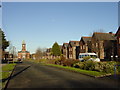
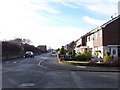
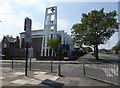
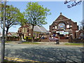
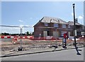
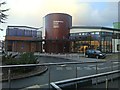
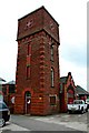
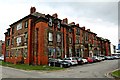
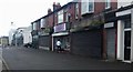
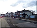
27 photos from this area
Area Information
Key information about the L10 1LX including its size, population, and administrative classification.
- Area Type
- Postcode
- Area Size
- 5812 m²
- Population
- 1809
- Population Density
- 4239 people/km²
House Prices in L10 1LX
20
Properties
£65,929
Average Sold Price
£35,000
Lowest Price
£95,000
Highest Price
Showing 20 properties
| Address | Type | Beds | Baths | Last Sale Price | Last Sale Date | |
|---|---|---|---|---|---|---|
| 128 Haven Road, Liverpool, L10 1LX | Retail | 3 | 1 | £95,000 | May 2022 | |
| 156 Haven Road, Liverpool, L10 1LX | Terraced | 4 | 1 | £71,000 | Aug 2020 | |
| 164 Haven Road, Liverpool, L10 1LX | Terraced | 4 | 1 | £92,000 | Feb 2019 | |
| 142 Haven Road, Liverpool, L10 1LX | Terraced | 3 | 2 | £86,000 | Jul 2018 | |
| 160 Haven Road, Liverpool, L10 1LX | house | - | - | £60,335 | Sep 2017 | |
| 132 Haven Road, Liverpool, L10 1LX | house | - | - | £45,000 | Feb 2015 | |
| 158 Haven Road, Liverpool, L10 1LX | Terraced | 4 | 1 | £69,000 | Oct 2012 | |
| 130 Haven Road, Liverpool, L10 1LX | Terraced | - | - | £50,000 | Mar 2005 | |
| 166 Haven Road, Liverpool, L10 1LX | Terraced | - | - | £55,950 | Nov 2002 | |
| 138 Haven Road, Liverpool, L10 1LX | Terraced | - | - | £35,000 | Dec 1995 |
Page 1 of 2
Energy Efficiency in L10 1LX
Amenities
Schools
| Rank | School | Type | Entry gender | Ages |
|---|
Explore more schools in this area
Go to Schools tabDemographics
Household Size
One person
most common
Accommodation Type
Houses
most common
Tenure
53
majority
Ethnic Group
White
most common
Religion
N/A
most common
Household Composition
N/A
most common
Age
47
median
Adults (30-64 years)
most common
Household Deprivation
N/A
with no deprivation
NS-SEC
22
in Lower managerial occupations
Explore more demographic insights in this area
Go to Demographics tabPlanning
Planning Constraints
- Flood RiskPremium
- Ramsar Wetland SitesPremium
- Area of Outstanding Natural BeautyPremium
- Protected Nature ReservePremium
- Protected WoodlandPremium