Area Overview for FY5 2NT
Photos of FY5 2NT
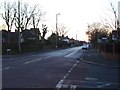
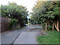
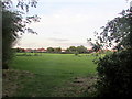
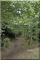

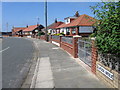

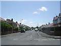
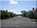
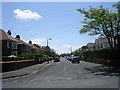
31 photos from this area
Area Information
Key information about the FY5 2NT including its size, population, and administrative classification.
- Area Type
- Postcode
- Area Size
- 9498 m²
- Population
- 1406
- Population Density
- 4684 people/km²
House Prices in FY5 2NT
14
Properties
£150,939
Average Sold Price
£124,950
Lowest Price
£190,000
Highest Price
Showing 14 properties
| Address | Type | Beds | Baths | Last Sale Price | Last Sale Date | |
|---|---|---|---|---|---|---|
| 4 Blaydon Avenue, Thornton Cleveleys, FY5 2NT | Bungalow | 2 | 1 | £190,000 | Jan 2024 | |
| 7 Blaydon Avenue, Thornton Cleveleys, FY5 2NT | Bungalow | 2 | 1 | £180,000 | Oct 2022 | |
| 5 Blaydon Avenue, Thornton Cleveleys, FY5 2NT | Bungalow | 2 | - | £140,000 | Mar 2021 | |
| 16 Blaydon Avenue, Thornton Cleveleys, FY5 2NT | Bungalow | - | - | £128,000 | Feb 2019 | |
| 1 Blaydon Avenue, Thornton Cleveleys, FY5 2NT | Bungalow | 3 | 1 | £158,000 | May 2018 | |
| 10 Blaydon Avenue, Thornton Cleveleys, FY5 2NT | Semi-detached | 2 | 1 | £127,000 | Oct 2016 | |
| 2 Blaydon Avenue, Thornton Cleveleys, FY5 2NT | Bungalow | - | - | £133,500 | Aug 2014 | |
| 3 Blaydon Avenue, Thornton Cleveleys, FY5 2NT | Semi-detached | - | - | £124,950 | Aug 2014 | |
| 8 Blaydon Avenue, Thornton Cleveleys, FY5 2NT | Bungalow | - | - | £177,000 | Oct 2011 | |
| 6 Blaydon Avenue, Thornton Cleveleys, FY5 2NT | Bungalow | 3 | 1 | - | - |
Page 1 of 2
Energy Efficiency in FY5 2NT
Amenities
Schools
| Rank | School | Type | Entry gender | Ages |
|---|
Explore more schools in this area
Go to Schools tabDemographics
Household Size
Two person
most common
Accommodation Type
Houses
most common
Tenure
72
majority
Ethnic Group
White
most common
Religion
N/A
most common
Household Composition
N/A
most common
Age
47
median
Elderly (65+ years)
most common
Household Deprivation
N/A
with no deprivation
NS-SEC
23
in Lower managerial occupations
Explore more demographic insights in this area
Go to Demographics tabPlanning
Planning Constraints
- Flood RiskPremium
- Ramsar Wetland SitesPremium
- Area of Outstanding Natural BeautyPremium
- Protected Nature ReservePremium
- Protected WoodlandPremium