Area Overview for CW2 5DA
Photos of CW2 5DA
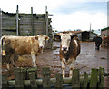
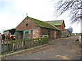
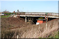
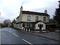
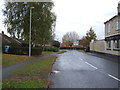
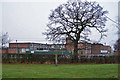
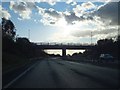
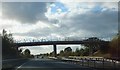
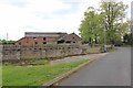
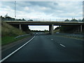
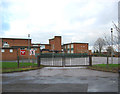
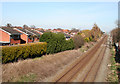
24 photos from this area
Area Information
Key information about the CW2 5DA including its size, population, and administrative classification.
- Area Type
- Postcode
- Area Size
- 30.2 hectares
- Population
- 1256
- Population Density
- 682 people/km²
House Prices in CW2 5DA
22
Properties
£178,232
Average Sold Price
£120,250
Lowest Price
£270,000
Highest Price
Showing 22 properties
| Address | Type | Beds | Baths | Last Sale Price | Last Sale Date | |
|---|---|---|---|---|---|---|
| 75A Rope Lane, Shavington, CW2 5DA | Detached | 2 | 1 | £250,000 | Sep 2023 | |
| 79 Rope Lane, Shavington, CW2 5DA | Bungalow | - | - | £150,000 | Dec 2022 | |
| Bruntwood, 77 Rope Lane, Shavington, CW2 5DA | Bungalow | - | - | £203,000 | Mar 2022 | |
| Rose Cottage, 64 Rope Lane, Shavington, CW2 5DA | Bungalow | - | - | £270,000 | Jun 2015 | |
| 69 Rope Lane, Shavington, CW2 5DA | Semi-detached | 2 | 1 | £120,250 | Nov 2014 | |
| 53 Rope Lane, Shavington, CW2 5DA | Detached | 4 | 2 | £132,300 | Jan 2014 | |
| Helms Deep, 73 Rope Lane, Shavington, CW2 5DA | Semi-detached | 2 | 1 | £160,000 | Jun 2013 | |
| Lalinde, 81 Rope Lane, Shavington, CW2 5DA | Detached | - | - | £195,000 | Apr 2008 | |
| Sunny Glen, 59 Rope Lane, Shavington, CW2 5DA | Semi-detached | - | - | £200,000 | Feb 2008 | |
| 61 Rope Lane, Shavington, CW2 5DA | Detached | 4 | - | £140,000 | Feb 2007 |
Page 1 of 3
Energy Efficiency in CW2 5DA
Amenities
Schools
| Rank | School | Type | Entry gender | Ages |
|---|
Explore more schools in this area
Go to Schools tabDemographics
Household Size
Two person
most common
Accommodation Type
Houses
most common
Tenure
91
majority
Ethnic Group
White
most common
Religion
N/A
most common
Household Composition
N/A
most common
Age
47
median
Adults (30-64 years)
most common
Household Deprivation
N/A
with no deprivation
NS-SEC
47
in Lower managerial occupations
Explore more demographic insights in this area
Go to Demographics tabPlanning
Planning Constraints
- Flood RiskPremium
- Ramsar Wetland SitesPremium
- Area of Outstanding Natural BeautyPremium
- Protected Nature ReservePremium
- Protected WoodlandPremium