Area Overview for CW2 5AJ
Photos of CW2 5AJ
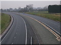
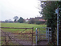
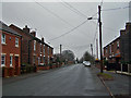
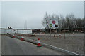
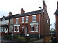
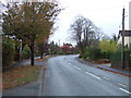
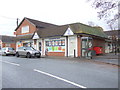
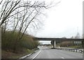
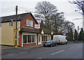
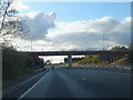
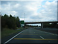
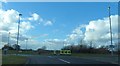
12 photos from this area
Area Information
Key information about the CW2 5AJ including its size, population, and administrative classification.
- Area Type
- Postcode
- Area Size
- 1.2 hectares
- Population
- 2714
- Population Density
- 974 people/km²
House Prices in CW2 5AJ
23
Properties
£222,389
Average Sold Price
£60,000
Lowest Price
£350,000
Highest Price
Showing 23 properties
| Address | Type | Beds | Baths | Last Sale Price | Last Sale Date | |
|---|---|---|---|---|---|---|
| 167 Crewe Road, Shavington, CW2 5AJ | house | 3 | 2 | £325,000 | Jun 2024 | |
| 148 CREWE ROAD, Shavington, CW2 5AJ | Bungalow | 2 | - | £250,000 | May 2023 | |
| 169 Crewe Road, Shavington, CW2 5AJ | house | - | - | £265,000 | Sep 2022 | |
| 171 Crewe Road, Shavington, CW2 5AJ | Retail | 3 | - | £219,000 | Jan 2021 | |
| 161 Crewe Road, Shavington, CW2 5AJ | Detached | 5 | 2 | £350,000 | Aug 2020 | |
| 154 Crewe Road, Shavington, CW2 5AJ | house | 3 | 1 | £205,000 | May 2019 | |
| 158 Crewe Road, Shavington, CW2 5AJ | Semi-detached | 3 | 1 | £207,000 | Aug 2018 | |
| 152 Crewe Road, Shavington, CW2 5AJ | house | - | - | £150,000 | Jul 2016 | |
| 144 Crewe Road, Shavington, CW2 5AJ | Detached | 6 | 3 | £340,000 | Nov 2014 | |
| 156 Crewe Road, Shavington, CW2 5AJ | Semi-detached | 3 | - | £225,000 | Dec 2013 |
Page 1 of 3
Energy Efficiency in CW2 5AJ
Amenities
Schools
| Rank | School | Type | Entry gender | Ages |
|---|
Explore more schools in this area
Go to Schools tabDemographics
Household Size
Two person
most common
Accommodation Type
Houses
most common
Tenure
84
majority
Ethnic Group
White
most common
Religion
N/A
most common
Household Composition
N/A
most common
Age
47
median
Adults (30-64 years)
most common
Household Deprivation
N/A
with no deprivation
NS-SEC
41
in Lower managerial occupations
Explore more demographic insights in this area
Go to Demographics tabPlanning
Planning Constraints
- Flood RiskPremium
- Ramsar Wetland SitesPremium
- Area of Outstanding Natural BeautyPremium
- Protected Nature ReservePremium
- Protected WoodlandPremium