Area Overview for CW11 4EZ
Photos of CW11 4EZ
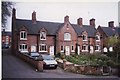
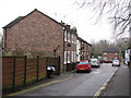

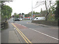
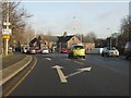

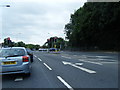
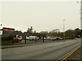
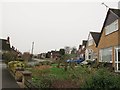
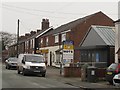
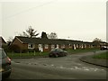
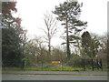
81 photos from this area
Area Information
Key information about the CW11 4EZ including its size, population, and administrative classification.
- Area Type
- Postcode
- Area Size
- 2.2 hectares
- Population
- 1360
- Population Density
- 1109 people/km²
House Prices in CW11 4EZ
51
Properties
£132,831
Average Sold Price
£34,000
Lowest Price
£350,000
Highest Price
Showing 51 properties
| Address | Type | Beds | Baths | Last Sale Price | Last Sale Date | |
|---|---|---|---|---|---|---|
| 56 Palmer Road, Sandbach, CW11 4EZ | house | 2 | 1 | £190,000 | Oct 2025 | |
| 78 Palmer Road, Sandbach, CW11 4EZ | house | - | - | £285,000 | Mar 2025 | |
| 63 Palmer Road, Sandbach, CW11 4EZ | Semi-detached | 2 | 1 | £181,495 | Mar 2025 | |
| 86 Palmer Road, Sandbach, CW11 4EZ | Detached | 4 | 2 | £320,000 | Oct 2022 | |
| 43 Palmer Road, Sandbach, CW11 4EZ | Detached | 3 | 2 | £240,000 | May 2022 | |
| 74 Palmer Road, Sandbach, CW11 4EZ | house | - | - | £350,000 | Jan 2022 | |
| 41 Palmer Road, Sandbach, CW11 4EZ | Detached | 3 | - | £210,000 | Aug 2021 | |
| 42 Palmer Road, Sandbach, CW11 4EZ | Semi-detached | 3 | 1 | £147,000 | Apr 2021 | |
| 62 Palmer Road, Sandbach, CW11 4EZ | Semi-detached | 3 | - | £165,000 | Nov 2020 | |
| 52 Palmer Road, Sandbach, CW11 4EZ | house | - | - | £134,000 | Sep 2020 |
Page 1 of 6
Energy Efficiency in CW11 4EZ
Amenities
Schools
| Rank | School | Type | Entry gender | Ages |
|---|
Explore more schools in this area
Go to Schools tabDemographics
Household Size
Two person
most common
Accommodation Type
Houses
most common
Tenure
81
majority
Ethnic Group
White
most common
Religion
N/A
most common
Household Composition
N/A
most common
Age
47
median
Adults (30-64 years)
most common
Household Deprivation
N/A
with no deprivation
NS-SEC
40
in Lower managerial occupations
Explore more demographic insights in this area
Go to Demographics tabPlanning
Planning Constraints
- Flood RiskPremium
- Ramsar Wetland SitesPremium
- Area of Outstanding Natural BeautyPremium
- Protected Nature ReservePremium
- Protected WoodlandPremium