Area Overview for CH61 1DF
Photos of CH61 1DF
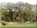
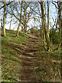
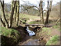
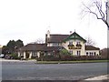
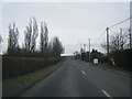
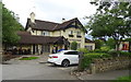
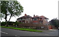
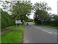
18 photos from this area
Area Information
Key information about the CH61 1DF including its size, population, and administrative classification.
- Area Type
- Postcode
- Area Size
- 1.1 hectares
- Population
- 1253
- Population Density
- 564 people/km²
House Prices in CH61 1DF
18
Properties
£279,278
Average Sold Price
£84,500
Lowest Price
£522,500
Highest Price
Showing 18 properties
| Address | Type | Beds | Baths | Last Sale Price | Last Sale Date | |
|---|---|---|---|---|---|---|
| Three Stacks, 15 Private Drive, Barnston, CH61 1DF | Detached | 4 | 1 | £522,500 | Oct 2025 | |
| 11 Private Drive, Barnston, CH61 1DF | house | - | - | £419,000 | Sep 2022 | |
| 27 Private Drive, Barnston, CH61 1DF | house | - | - | £325,000 | Aug 2022 | |
| 33 Private Drive, Barnston, CH61 1DF | Semi-detached | 3 | 1 | £280,000 | Aug 2021 | |
| Windrush, 31 Private Drive, Barnston, CH61 1DF | Semi-detached | 4 | - | £340,000 | Aug 2018 | |
| 23 Private Drive, Barnston, CH61 1DF | Semi-detached | - | - | £210,000 | Nov 2006 | |
| 21 Private Drive, Barnston, CH61 1DF | Semi-detached | - | - | £227,500 | Sep 2004 | |
| 9 Private Drive, Barnston, CH61 1DF | Semi-detached | - | - | £105,000 | Jun 2000 | |
| Brookdale, 35 Private Drive, Barnston, CH61 1DF | Semi-detached | - | - | £84,500 | Nov 1996 | |
| Lynwood, 29 Private Drive, Barnston, CH61 1DF | Semi-detached | - | - | - | - |
Page 1 of 2
Energy Efficiency in CH61 1DF
Amenities
Schools
| Rank | School | Type | Entry gender | Ages |
|---|
Explore more schools in this area
Go to Schools tabDemographics
Household Size
Two person
most common
Accommodation Type
Houses
most common
Tenure
90
majority
Ethnic Group
White
most common
Religion
N/A
most common
Household Composition
N/A
most common
Age
47
median
Adults (30-64 years)
most common
Household Deprivation
N/A
with no deprivation
NS-SEC
48
in Lower managerial occupations
Explore more demographic insights in this area
Go to Demographics tabPlanning
Planning Constraints
- Flood RiskPremium
- Ramsar Wetland SitesPremium
- Area of Outstanding Natural BeautyPremium
- Protected Nature ReservePremium
- Protected WoodlandPremium