Area Overview for CH61 1DE
Photos of CH61 1DE
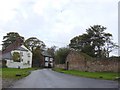
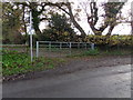
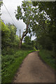
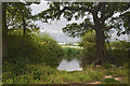
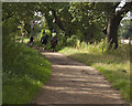
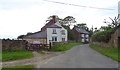
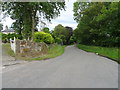
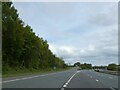
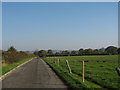
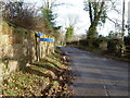
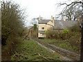
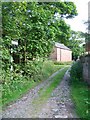
19 photos from this area
Area Information
Key information about the CH61 1DE including its size, population, and administrative classification.
- Area Type
- Postcode
- Area Size
- 88.2 hectares
- Population
- 1517
- Population Density
- 355 people/km²
House Prices in CH61 1DE
18
Properties
£225,143
Average Sold Price
£30,000
Lowest Price
£420,000
Highest Price
Showing 18 properties
| Address | Type | Beds | Baths | Last Sale Price | Last Sale Date | |
|---|---|---|---|---|---|---|
| Sans Souci, 2 Private Drive, Barnston, CH61 1DE | Bungalow | 3 | 2 | £420,000 | Dec 2021 | |
| Broadfield, 40 Private Drive, Barnston, CH61 1DE | Semi-detached | 5 | 2 | £370,000 | Jul 2019 | |
| Barnamire, 28 Private Drive, Barnston, CH61 1DE | Semi-detached | 4 | - | £226,000 | Mar 2015 | |
| 6 Private Drive, Barnston, CH61 1DE | house | - | - | £190,000 | Jun 2010 | |
| 12 Private Drive, Barnston, CH61 1DE | Land | 4 | 2 | £240,000 | Dec 2004 | |
| Salix, 14 Private Drive, Barnston, CH61 1DE | Detached | - | - | £100,000 | May 1997 | |
| 42 Private Drive, Barnston, CH61 1DE | Semi-detached | - | - | £30,000 | Mar 1995 | |
| 8 Private Drive, Barnston, CH61 1DE | house | 4 | 2 | - | - | |
| 44 Private Drive, Barnston, CH61 1DE | house | 3 | 2 | - | - | |
| 34 Private Drive, Barnston, CH61 1DE | Semi-detached | 3 | 1 | - | - |
Page 1 of 2
Energy Efficiency in CH61 1DE
Amenities
Schools
| Rank | School | Type | Entry gender | Ages |
|---|
Explore more schools in this area
Go to Schools tabDemographics
Household Size
Two person
most common
Accommodation Type
Houses
most common
Tenure
79
majority
Ethnic Group
White
most common
Religion
N/A
most common
Household Composition
N/A
most common
Age
47
median
Adults (30-64 years)
most common
Household Deprivation
N/A
with no deprivation
NS-SEC
40
in Lower managerial occupations
Explore more demographic insights in this area
Go to Demographics tabPlanning
Planning Constraints
- Flood RiskPremium
- Ramsar Wetland SitesPremium
- Area of Outstanding Natural BeautyPremium
- Protected Nature ReservePremium
- Protected WoodlandPremium