Area Overview for CH60 6SA
Photos of CH60 6SA
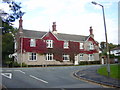
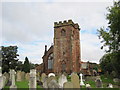
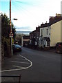
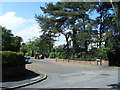
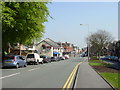
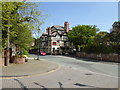
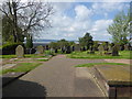
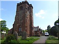
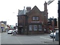
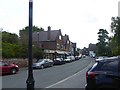
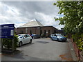
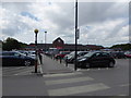
52 photos from this area
Area Information
Key information about the CH60 6SA including its size, population, and administrative classification.
- Area Type
- Postcode
- Area Size
- 1.2 hectares
- Population
- 1454
- Population Density
- 475 people/km²
House Prices in CH60 6SA
8
Properties
£574,400
Average Sold Price
£365,000
Lowest Price
£795,000
Highest Price
Showing 8 properties
| Address | Type | Beds | Baths | Last Sale Price | Last Sale Date | |
|---|---|---|---|---|---|---|
| Gorse Bank, 57 Thurstaston Road, Heswall, CH60 6SA | house | - | - | £795,000 | Oct 2021 | |
| Ashcroft, 65 Thurstaston Road, Heswall, CH60 6SA | Detached | 4 | 2 | £710,000 | Sep 2020 | |
| Chestnut Cottage, 67 Thurstaston Road, Heswall, CH60 6SA | Detached | 4 | 1 | £577,000 | Jul 2015 | |
| The Pippins, 69 Thurstaston Road, Heswall, CH60 6SA | Bungalow | - | - | £425,000 | Aug 2004 | |
| 63 Thurstaston Road, Heswall, CH60 6SA | Detached | 5 | 3 | £365,000 | Dec 2003 | |
| Dee View, 59 Thurstaston Road, Heswall, CH60 6SA | Detached | - | - | - | - | |
| Conway Cottage, 61 Thurstaston Road, Heswall, CH60 6SA | Detached | - | - | - | - | |
| Annexe, Chestnut Cottage, 67 Thurstaston Road, Heswall, CH60 6SA | Flat | - | - | - | - |
Energy Efficiency in CH60 6SA
Amenities
Schools
| Rank | School | Type | Entry gender | Ages |
|---|
Explore more schools in this area
Go to Schools tabDemographics
Household Size
Two person
most common
Accommodation Type
Houses
most common
Tenure
96
majority
Ethnic Group
White
most common
Religion
N/A
most common
Household Composition
N/A
most common
Age
47
median
Adults (30-64 years)
most common
Household Deprivation
N/A
with no deprivation
NS-SEC
56
in Lower managerial occupations
Explore more demographic insights in this area
Go to Demographics tabPlanning
Planning Constraints
- Flood RiskPremium
- Ramsar Wetland SitesPremium
- Area of Outstanding Natural BeautyPremium
- Protected Nature ReservePremium
- Protected WoodlandPremium