Area Overview for CH60 0DH
Photos of CH60 0DH
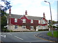
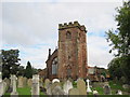
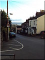
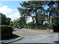
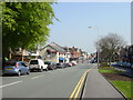
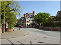
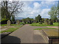
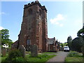


52 photos from this area
Area Information
Key information about the CH60 0DH including its size, population, and administrative classification.
- Area Type
- Postcode
- Area Size
- 1.1 hectares
- Population
- 1526
- Population Density
- 1921 people/km²
House Prices in CH60 0DH
14
Properties
£376,892
Average Sold Price
£120,000
Lowest Price
£802,750
Highest Price
Showing 14 properties
| Address | Type | Beds | Baths | Last Sale Price | Last Sale Date | |
|---|---|---|---|---|---|---|
| Meadow Cottage, Dee View Road, Heswall, CH60 0DH | Detached | 2 | 2 | £480,000 | Mar 2022 | |
| Richfield Cottage, Dee View Road, Heswall, CH60 0DH | house | 2 | - | £415,000 | Jun 2021 | |
| Sandfield Cottage, Dee View Road, Heswall, CH60 0DH | Semi-detached | 2 | 1 | £270,000 | Feb 2020 | |
| The Pines, Dee View Road, Heswall, CH60 0DH | house | - | - | £802,750 | Oct 2018 | |
| Bellefield Cottage, Dee View Road, Heswall, CH60 0DH | house | - | - | £300,500 | Nov 2014 | |
| Creg Malin, Dee View Road, Heswall, CH60 0DH | Detached | - | - | £249,995 | Apr 2001 | |
| Seaton Cliff, Dee View Road, Heswall, CH60 0DH | Detached | - | - | £120,000 | Dec 1995 | |
| Honeycomb Cottage, Dee View Road, Heswall, CH60 0DH | Cottage | 2 | 1 | - | - | |
| Cliff Cottage, Dee View Road, Heswall, CH60 0DH | Detached | 5 | - | - | - | |
| Managers Flat, Dee View Inn, Dee View Road, Heswall, CH60 0DH | Terraced | 2 | 1 | - | - |
Page 1 of 2
Energy Efficiency in CH60 0DH
Amenities
Schools
| Rank | School | Type | Entry gender | Ages |
|---|
Explore more schools in this area
Go to Schools tabDemographics
Household Size
One person
most common
Accommodation Type
Houses
most common
Tenure
75
majority
Ethnic Group
White
most common
Religion
N/A
most common
Household Composition
N/A
most common
Age
47
median
Adults (30-64 years)
most common
Household Deprivation
N/A
with no deprivation
NS-SEC
49
in Lower managerial occupations
Explore more demographic insights in this area
Go to Demographics tabPlanning
Planning Constraints
- Flood RiskPremium
- Ramsar Wetland SitesPremium
- Area of Outstanding Natural BeautyPremium
- Protected Nature ReservePremium
- Protected WoodlandPremium