Area Overview for CH60 6RG
Photos of CH60 6RG
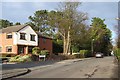
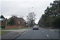
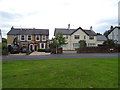
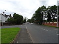
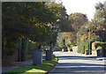
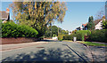
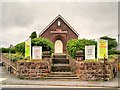
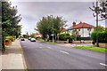
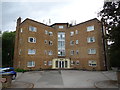
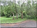
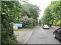
15 photos from this area
Area Information
Key information about the CH60 6RG including its size, population, and administrative classification.
- Area Type
- Postcode
- Area Size
- 1.1 hectares
- Population
- 1526
- Population Density
- 1921 people/km²
House Prices in CH60 6RG
14
Properties
£417,667
Average Sold Price
£142,000
Lowest Price
£622,000
Highest Price
Showing 14 properties
| Address | Type | Beds | Baths | Last Sale Price | Last Sale Date | |
|---|---|---|---|---|---|---|
| The Hollies, 4 Oldfield Way, Heswall, CH60 6RG | Bungalow | - | - | £622,000 | Oct 2023 | |
| Dunnerdale, 2A Oldfield Way, Heswall, CH60 6RG | Bungalow | 3 | 2 | £385,000 | Jun 2017 | |
| Perello, 6 Oldfield Way, Heswall, CH60 6RG | house | - | - | £450,000 | Apr 2014 | |
| Heather Brae, 8 Oldfield Way, Heswall, CH60 6RG | house | - | - | £492,000 | Jul 2012 | |
| Arnwood, 26 Oldfield Way, Heswall, CH60 6RG | house | - | - | £415,000 | Jan 2012 | |
| Four Winds, 22 Oldfield Way, Heswall, CH60 6RG | Detached | - | - | £142,000 | Jul 1999 | |
| Ballycastle, 18 Oldfield Way, Heswall, CH60 6RG | Detached | 4 | - | - | - | |
| Dormie, 12 Oldfield Way, Heswall, CH60 6RG | Detached | - | - | - | - | |
| The Heath, 14 Oldfield Way, Heswall, CH60 6RG | Detached | - | - | - | - | |
| Lynton, 20 Oldfield Way, Heswall, CH60 6RG | Detached | - | - | - | - |
Page 1 of 2
Energy Efficiency in CH60 6RG
Amenities
Schools
| Rank | School | Type | Entry gender | Ages |
|---|
Explore more schools in this area
Go to Schools tabDemographics
Household Size
One person
most common
Accommodation Type
Houses
most common
Tenure
75
majority
Ethnic Group
White
most common
Religion
N/A
most common
Household Composition
N/A
most common
Age
47
median
Adults (30-64 years)
most common
Household Deprivation
N/A
with no deprivation
NS-SEC
49
in Lower managerial occupations
Explore more demographic insights in this area
Go to Demographics tabPlanning
Planning Constraints
- Flood RiskPremium
- Ramsar Wetland SitesPremium
- Area of Outstanding Natural BeautyPremium
- Protected Nature ReservePremium
- Protected WoodlandPremium