Area Overview for CH60 6RH
Photos of CH60 6RH
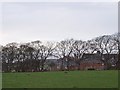
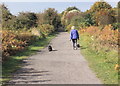
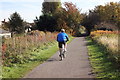
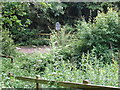
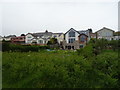
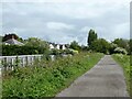
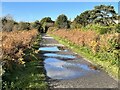
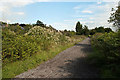
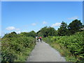
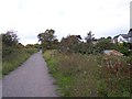
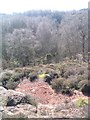
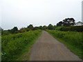
13 photos from this area
Area Information
Key information about the CH60 6RH including its size, population, and administrative classification.
- Area Type
- Postcode
- Area Size
- 2.1 hectares
- Population
- 1526
- Population Density
- 1921 people/km²
House Prices in CH60 6RH
19
Properties
£417,167
Average Sold Price
£138,000
Lowest Price
£690,000
Highest Price
Showing 19 properties
| Address | Type | Beds | Baths | Last Sale Price | Last Sale Date | |
|---|---|---|---|---|---|---|
| Roermond, 43 Oldfield Way, Heswall, CH60 6RH | Bungalow | 4 | 2 | £480,000 | Mar 2025 | |
| Westridge, 37 Oldfield Way, Heswall, CH60 6RH | house | - | - | £510,000 | May 2024 | |
| Birch Copse, 32 Oldfield Way, Heswall, CH60 6RH | house | - | - | £690,000 | Mar 2021 | |
| Mickleden, 38 Oldfield Way, Heswall, CH60 6RH | Detached | 3 | - | £450,000 | Jan 2021 | |
| Gorselands, 29 Oldfield Way, Heswall, CH60 6RH | house | - | - | £500,000 | Apr 2019 | |
| Beau View, 30 Oldfield Way, Heswall, CH60 6RH | house | - | - | £495,000 | Apr 2017 | |
| Overdee, 40 Oldfield Way, Heswall, CH60 6RH | Bungalow | 4 | 2 | £425,000 | Nov 2016 | |
| The Pippins, 39 Oldfield Way, Heswall, CH60 6RH | house | - | - | £437,500 | Aug 2015 | |
| Concordia, 42 Oldfield Way, Heswall, CH60 6RH | Bungalow | - | - | £300,000 | Mar 2014 | |
| 44 Oldfield Way, Heswall, CH60 6RH | Bungalow | - | - | £320,000 | Apr 2012 |
Page 1 of 2
Energy Efficiency in CH60 6RH
Amenities
Schools
| Rank | School | Type | Entry gender | Ages |
|---|
Explore more schools in this area
Go to Schools tabDemographics
Household Size
One person
most common
Accommodation Type
Houses
most common
Tenure
75
majority
Ethnic Group
White
most common
Religion
N/A
most common
Household Composition
N/A
most common
Age
47
median
Adults (30-64 years)
most common
Household Deprivation
N/A
with no deprivation
NS-SEC
49
in Lower managerial occupations
Explore more demographic insights in this area
Go to Demographics tabPlanning
Planning Constraints
- Flood RiskPremium
- Ramsar Wetland SitesPremium
- Area of Outstanding Natural BeautyPremium
- Protected Nature ReservePremium
- Protected WoodlandPremium