Area Overview for CH48 5EN
Photos of CH48 5EN
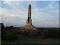
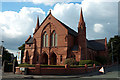
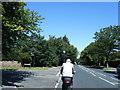
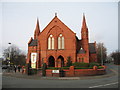
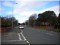
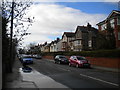
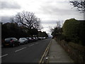
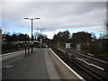

35 photos from this area
Area Information
Key information about the CH48 5EN including its size, population, and administrative classification.
- Area Type
- Postcode
- Area Size
- 4595 m²
- Population
- 1586
- Population Density
- 818 people/km²
House Prices in CH48 5EN
25
Properties
£184,669
Average Sold Price
£77,500
Lowest Price
£290,000
Highest Price
Showing 25 properties
| Address | Type | Beds | Baths | Last Sale Price | Last Sale Date | |
|---|---|---|---|---|---|---|
| 40 Orrysdale Road, West Kirby, CH48 5EN | Terraced | 3 | 1 | £290,000 | Feb 2025 | |
| 34 Orrysdale Road, West Kirby, CH48 5EN | house | - | - | £280,000 | Mar 2024 | |
| 18 Orrysdale Road, West Kirby, CH48 5EN | house | - | - | £170,000 | Aug 2022 | |
| 24 Orrysdale Road, West Kirby, CH48 5EN | house | - | - | £267,500 | Apr 2022 | |
| 14 Orrysdale Road, West Kirby, CH48 5EN | house | - | - | £175,000 | Oct 2020 | |
| 10 Orrysdale Road, West Kirby, CH48 5EN | house | 3 | - | £187,500 | Oct 2019 | |
| 12 Orrysdale Road, West Kirby, CH48 5EN | Terraced | 3 | 1 | £185,000 | Dec 2017 | |
| 26 Orrysdale Road, West Kirby, CH48 5EN | Flat | 1 | 1 | £170,000 | Jan 2017 | |
| 36 Orrysdale Road, West Kirby, CH48 5EN | Terraced | 3 | - | £182,500 | Jun 2015 | |
| 32 Orrysdale Road, West Kirby, CH48 5EN | house | - | - | £158,000 | Jan 2015 |
Page 1 of 3
Energy Efficiency in CH48 5EN
Amenities
Schools
| Rank | School | Type | Entry gender | Ages |
|---|
Explore more schools in this area
Go to Schools tabDemographics
Household Size
One person
most common
Accommodation Type
Houses
most common
Tenure
71
majority
Ethnic Group
White
most common
Religion
N/A
most common
Household Composition
N/A
most common
Age
47
median
Adults (30-64 years)
most common
Household Deprivation
N/A
with no deprivation
NS-SEC
44
in Lower managerial occupations
Explore more demographic insights in this area
Go to Demographics tabPlanning
Planning Constraints
- Flood RiskPremium
- Ramsar Wetland SitesPremium
- Area of Outstanding Natural BeautyPremium
- Protected Nature ReservePremium
- Protected WoodlandPremium