Area Overview for CH48 5EG
Photos of CH48 5EG
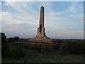
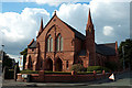
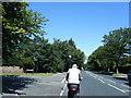
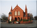
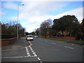
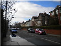
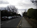
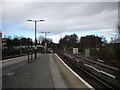
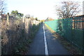
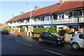

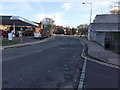
35 photos from this area
Area Information
Key information about the CH48 5EG including its size, population, and administrative classification.
- Area Type
- Postcode
- Area Size
- 8443 m²
- Population
- 1586
- Population Density
- 818 people/km²
House Prices in CH48 5EG
21
Properties
£203,282
Average Sold Price
£60,000
Lowest Price
£350,000
Highest Price
Showing 21 properties
| Address | Type | Beds | Baths | Last Sale Price | Last Sale Date | |
|---|---|---|---|---|---|---|
| 66 Anglesey Road, West Kirby, CH48 5EG | house | - | - | £240,000 | Oct 2023 | |
| 52 Anglesey Road, West Kirby, CH48 5EG | Semi-detached | 3 | 1 | £285,000 | Dec 2021 | |
| 72 Anglesey Road, West Kirby, CH48 5EG | house | - | - | £295,000 | Dec 2021 | |
| 74 Anglesey Road, West Kirby, CH48 5EG | house | - | - | £350,000 | Sep 2021 | |
| 62 Anglesey Road, West Kirby, CH48 5EG | house | - | - | £217,050 | Feb 2021 | |
| 76 Anglesey Road, West Kirby, CH48 5EG | house | - | - | £299,950 | Aug 2019 | |
| 54 Anglesey Road, West Kirby, CH48 5EG | house | - | - | £227,000 | Nov 2018 | |
| 46 Anglesey Road, West Kirby, CH48 5EG | house | - | - | £272,000 | Apr 2016 | |
| 56 Anglesey Road, West Kirby, CH48 5EG | house | - | - | £165,000 | Oct 2010 | |
| 68 Anglesey Road, West Kirby, CH48 5EG | Semi-detached | - | - | £94,000 | Nov 2005 |
Page 1 of 3
Energy Efficiency in CH48 5EG
Amenities
Schools
| Rank | School | Type | Entry gender | Ages |
|---|
Explore more schools in this area
Go to Schools tabDemographics
Household Size
One person
most common
Accommodation Type
Houses
most common
Tenure
71
majority
Ethnic Group
White
most common
Religion
N/A
most common
Household Composition
N/A
most common
Age
47
median
Adults (30-64 years)
most common
Household Deprivation
N/A
with no deprivation
NS-SEC
44
in Lower managerial occupations
Explore more demographic insights in this area
Go to Demographics tabPlanning
Planning Constraints
- Flood RiskPremium
- Ramsar Wetland SitesPremium
- Area of Outstanding Natural BeautyPremium
- Protected Nature ReservePremium
- Protected WoodlandPremium