Area Overview for CH46 8TQ
Photos of CH46 8TQ
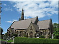
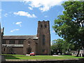
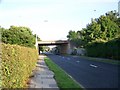
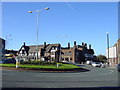
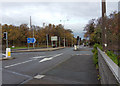
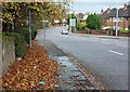
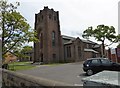

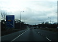
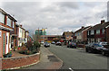
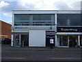
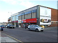
20 photos from this area
Area Information
Key information about the CH46 8TQ including its size, population, and administrative classification.
- Area Type
- Postcode
- Area Size
- 7809 m²
- Population
- 1664
- Population Density
- 5021 people/km²
House Prices in CH46 8TQ
17
Properties
£135,325
Average Sold Price
£43,000
Lowest Price
£274,000
Highest Price
Showing 17 properties
| Address | Type | Beds | Baths | Last Sale Price | Last Sale Date | |
|---|---|---|---|---|---|---|
| 164 Hoylake Road, Moreton, CH46 8TQ | Semi-detached | 4 | 1 | £274,000 | Jul 2024 | |
| 150 Hoylake Road, Moreton, CH46 8TQ | house | - | - | £160,000 | Jan 2022 | |
| 160 Hoylake Road, Moreton, CH46 8TQ | Semi-detached | - | - | £114,950 | Aug 2007 | |
| 146 Hoylake Road, Moreton, CH46 8TQ | Semi-detached | - | - | £105,000 | Nov 2005 | |
| 162 Hoylake Road, Moreton, CH46 8TQ | Detached | - | - | £115,000 | Nov 2001 | |
| 166 Hoylake Road, Moreton, CH46 8TQ | Semi-detached | - | - | £43,000 | Dec 1997 | |
| 158 Hoylake Road, Moreton, CH46 8TQ | house | - | - | - | - | |
| 148 Hoylake Road, Moreton, CH46 8TQ | house | - | - | - | - | |
| Ground Floor Flat, 168 Hoylake Road, Moreton, CH46 8TQ | Flat | - | - | - | - | |
| 156 Hoylake Road, Moreton, CH46 8TQ | house | - | - | - | - |
Page 1 of 2
Energy Efficiency in CH46 8TQ
Amenities
Schools
| Rank | School | Type | Entry gender | Ages |
|---|
Explore more schools in this area
Go to Schools tabDemographics
Household Size
One person
most common
Accommodation Type
Houses
most common
Tenure
67
majority
Ethnic Group
White
most common
Religion
N/A
most common
Household Composition
N/A
most common
Age
47
median
Adults (30-64 years)
most common
Household Deprivation
N/A
with no deprivation
NS-SEC
25
in Lower managerial occupations
Explore more demographic insights in this area
Go to Demographics tabPlanning
Planning Constraints
- Flood RiskPremium
- Ramsar Wetland SitesPremium
- Area of Outstanding Natural BeautyPremium
- Protected Nature ReservePremium
- Protected WoodlandPremium