Area Overview for CH46 8TN
Photos of CH46 8TN
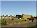
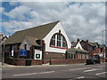
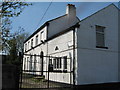
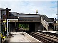
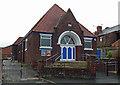
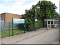
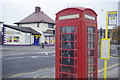
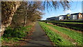
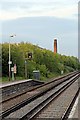
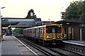
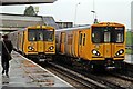
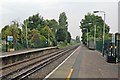
38 photos from this area
Area Information
Key information about the CH46 8TN including its size, population, and administrative classification.
- Area Type
- Postcode
- Area Size
- 1.1 hectares
- Population
- 1664
- Population Density
- 5021 people/km²
House Prices in CH46 8TN
18
Properties
£141,650
Average Sold Price
£46,000
Lowest Price
£275,000
Highest Price
Showing 18 properties
| Address | Type | Beds | Baths | Last Sale Price | Last Sale Date | |
|---|---|---|---|---|---|---|
| 1 Knutsford Road, Moreton, CH46 8TN | Maisonette | - | - | £130,000 | Jan 2023 | |
| 21 Knutsford Road, Moreton, CH46 8TN | house | - | - | £184,000 | Mar 2022 | |
| 13 Knutsford Road, Moreton, CH46 8TN | Detached | 4 | 2 | £275,000 | Jan 2022 | |
| 17 Knutsford Road, Moreton, CH46 8TN | house | - | - | £190,000 | Aug 2021 | |
| 5 Knutsford Road, Moreton, CH46 8TN | Semi-detached | 3 | 1 | £165,000 | Jun 2021 | |
| 19 Knutsford Road, Moreton, CH46 8TN | house | - | - | £155,000 | Mar 2020 | |
| 11 Knutsford Road, Moreton, CH46 8TN | Semi-detached | - | - | £164,950 | Apr 2017 | |
| 9 Knutsford Road, Moreton, CH46 8TN | Detached | - | - | £100,000 | Jan 2013 | |
| 15A Knutsford Road, Moreton, CH46 8TN | house | 3 | - | £127,500 | Dec 2012 | |
| 15 Knutsford Road, Moreton, CH46 8TN | house | - | - | £117,000 | Jun 2009 |
Page 1 of 2
Energy Efficiency in CH46 8TN
Amenities
Schools
| Rank | School | Type | Entry gender | Ages |
|---|
Explore more schools in this area
Go to Schools tabDemographics
Household Size
One person
most common
Accommodation Type
Houses
most common
Tenure
67
majority
Ethnic Group
White
most common
Religion
N/A
most common
Household Composition
N/A
most common
Age
47
median
Adults (30-64 years)
most common
Household Deprivation
N/A
with no deprivation
NS-SEC
25
in Lower managerial occupations
Explore more demographic insights in this area
Go to Demographics tabPlanning
Planning Constraints
- Flood RiskPremium
- Ramsar Wetland SitesPremium
- Area of Outstanding Natural BeautyPremium
- Protected Nature ReservePremium
- Protected WoodlandPremium