Area Overview for CH43 4XJ
Photos of CH43 4XJ
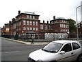
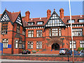
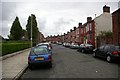
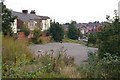
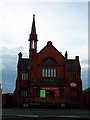
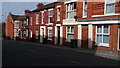

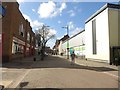
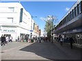
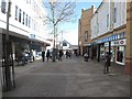
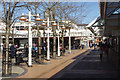
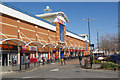
65 photos from this area
Area Information
Key information about the CH43 4XJ including its size, population, and administrative classification.
- Area Type
- Postcode
- Area Size
- 3962 m²
- Population
- 1448
- Population Density
- 7109 people/km²
House Prices in CH43 4XJ
19
Properties
£129,667
Average Sold Price
£37,000
Lowest Price
£235,000
Highest Price
Showing 19 properties
| Address | Type | Beds | Baths | Last Sale Price | Last Sale Date | |
|---|---|---|---|---|---|---|
| 10 Hawarden Avenue, Birkenhead, CH43 4XJ | Retail | 4 | 2 | £190,000 | Dec 2022 | |
| 5 Hawarden Avenue, Birkenhead, CH43 4XJ | Detached | 3 | 1 | £235,000 | Oct 2022 | |
| 17 Hawarden Avenue, Birkenhead, CH43 4XJ | Semi-detached | 4 | - | £189,500 | Sep 2022 | |
| 4 Hawarden Avenue, Birkenhead, CH43 4XJ | house | - | - | £110,000 | Feb 2021 | |
| 2 Hawarden Avenue, Birkenhead, CH43 4XJ | Semi-detached | 4 | 1 | £162,000 | Jun 2020 | |
| 18 Hawarden Avenue, Birkenhead, CH43 4XJ | Detached | 4 | 1 | £134,000 | May 2019 | |
| 12 Hawarden Avenue, Birkenhead, CH43 4XJ | Semi-detached | 4 | - | £102,500 | Mar 2017 | |
| 3 Hawarden Avenue, Birkenhead, CH43 4XJ | Semi-detached | - | - | £108,000 | Sep 2015 | |
| 15 Hawarden Avenue, Birkenhead, CH43 4XJ | Semi-detached | - | - | £133,000 | Jan 2008 | |
| 14 Hawarden Avenue, Birkenhead, CH43 4XJ | house | - | - | £105,000 | Jul 2007 |
Page 1 of 2
Energy Efficiency in CH43 4XJ
Amenities
Schools
| Rank | School | Type | Entry gender | Ages |
|---|
Explore more schools in this area
Go to Schools tabDemographics
Household Size
One person
most common
Accommodation Type
Houses
most common
Tenure
32
majority
Ethnic Group
White
most common
Religion
N/A
most common
Household Composition
N/A
most common
Age
47
median
Adults (30-64 years)
most common
Household Deprivation
N/A
with no deprivation
NS-SEC
17
in Lower managerial occupations
Explore more demographic insights in this area
Go to Demographics tabPlanning
Planning Constraints
- Flood RiskPremium
- Ramsar Wetland SitesPremium
- Area of Outstanding Natural BeautyPremium
- Protected Nature ReservePremium
- Protected WoodlandPremium