Area Overview for CH2 4NP
Photos of CH2 4NP
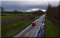
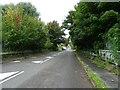
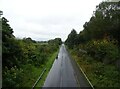
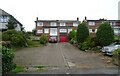
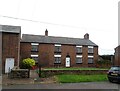
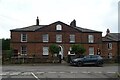
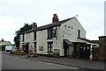
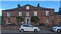
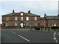
19 photos from this area
Area Information
Key information about the CH2 4NP including its size, population, and administrative classification.
- Area Type
- Postcode
- Area Size
- 49.8 hectares
- Population
- 2669
- Population Density
- 141 people/km²
House Prices in CH2 4NP
23
Properties
£148,333
Average Sold Price
£72,000
Lowest Price
£200,000
Highest Price
Showing 23 properties
| Address | Type | Beds | Baths | Last Sale Price | Last Sale Date | |
|---|---|---|---|---|---|---|
| 17 Marsh Lane, Ince, CH2 4NP | Semi-detached | 3 | 1 | £200,000 | Jan 2025 | |
| 34 Marsh Lane, Ince, CH2 4NP | Bungalow | 1 | 1 | £104,000 | Apr 2022 | |
| 35 Marsh Lane, Ince, CH2 4NP | house | - | - | £190,000 | Nov 2021 | |
| 37 Marsh Lane, Ince, CH2 4NP | house | - | - | £146,500 | Mar 2021 | |
| 19 Marsh Lane, Ince, CH2 4NP | house | - | - | £177,500 | Jul 2020 | |
| 31 Marsh Lane, Ince, CH2 4NP | house | - | - | £72,000 | Apr 2007 | |
| 33 Marsh Lane, Ince, CH2 4NP | Detached | 3 | 1 | - | - | |
| 16 Marsh Lane, Ince, CH2 4NP | Semi-detached | 2 | - | - | - | |
| 30 Marsh Lane, Ince, CH2 4NP | Bungalow | - | - | - | - | |
| 38 Marsh Lane, Ince, CH2 4NP | Bungalow | - | - | - | - |
Page 1 of 3
Energy Efficiency in CH2 4NP
Amenities
Schools
| Rank | School | Type | Entry gender | Ages |
|---|
Explore more schools in this area
Go to Schools tabDemographics
Household Size
Two person
most common
Accommodation Type
Houses
most common
Tenure
60
majority
Ethnic Group
White
most common
Religion
N/A
most common
Household Composition
N/A
most common
Age
47
median
Adults (30-64 years)
most common
Household Deprivation
N/A
with no deprivation
NS-SEC
26
in Lower managerial occupations
Explore more demographic insights in this area
Go to Demographics tabPlanning
Planning Constraints
- Flood RiskPremium
- Ramsar Wetland SitesPremium
- Area of Outstanding Natural BeautyPremium
- Protected Nature ReservePremium
- Protected WoodlandPremium