Area Overview for CH2 3RU
Photos of CH2 3RU
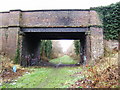
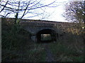
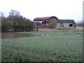
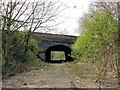
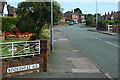
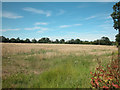
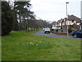
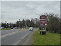
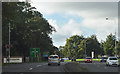
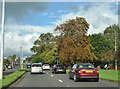
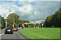
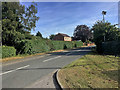
51 photos from this area
Area Information
Key information about the CH2 3RU including its size, population, and administrative classification.
- Area Type
- Postcode
- Area Size
- 1.1 hectares
- Population
- 1983
- Population Density
- 4447 people/km²
House Prices in CH2 3RU
24
Properties
£175,923
Average Sold Price
£65,000
Lowest Price
£234,000
Highest Price
Showing 24 properties
| Address | Type | Beds | Baths | Last Sale Price | Last Sale Date | |
|---|---|---|---|---|---|---|
| 42 Mannings Lane South, Chester, CH2 3RU | house | - | - | £177,500 | Dec 2021 | |
| 48 Mannings Lane South, Chester, CH2 3RU | house | - | - | £220,000 | Sep 2020 | |
| 24 Mannings Lane South, Chester, CH2 3RU | Semi-detached | 3 | - | £195,000 | May 2018 | |
| 8 Mannings Lane South, Chester, CH2 3RU | Semi-detached | 3 | 1 | £208,000 | Aug 2017 | |
| 40 Mannings Lane South, Chester, CH2 3RU | Terraced | - | - | £185,000 | Jun 2017 | |
| 18 Mannings Lane South, Chester, CH2 3RU | Semi-detached | 3 | - | £230,000 | May 2015 | |
| 14 Mannings Lane South, Chester, CH2 3RU | Semi-detached | 3 | 1 | £234,000 | Apr 2013 | |
| 12 Mannings Lane South, Chester, CH2 3RU | house | - | - | £209,500 | Sep 2010 | |
| 34 Mannings Lane South, Chester, CH2 3RU | Terraced | 4 | 3 | £158,000 | Jul 2008 | |
| 28 Mannings Lane South, Chester, CH2 3RU | Semi-detached | - | - | £232,000 | May 2007 |
Page 1 of 3
Energy Efficiency in CH2 3RU
Amenities
Schools
| Rank | School | Type | Entry gender | Ages |
|---|
Explore more schools in this area
Go to Schools tabDemographics
Household Size
One person
most common
Accommodation Type
Houses
most common
Tenure
79
majority
Ethnic Group
White
most common
Religion
N/A
most common
Household Composition
N/A
most common
Age
47
median
Adults (30-64 years)
most common
Household Deprivation
N/A
with no deprivation
NS-SEC
43
in Lower managerial occupations
Explore more demographic insights in this area
Go to Demographics tabPlanning
Planning Constraints
- Flood RiskPremium
- Ramsar Wetland SitesPremium
- Area of Outstanding Natural BeautyPremium
- Protected Nature ReservePremium
- Protected WoodlandPremium