Area Overview for CH2 3JG
Photos of CH2 3JG
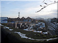
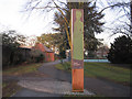
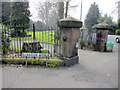
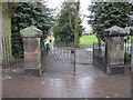
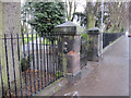
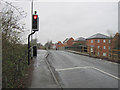
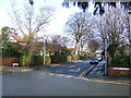
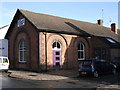
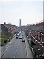
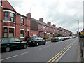
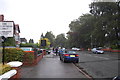
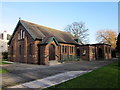
100 photos from this area
Area Information
Key information about the CH2 3JG including its size, population, and administrative classification.
- Area Type
- Postcode
- Area Size
- 1.0 hectares
- Population
- 1528
- Population Density
- 5341 people/km²
House Prices in CH2 3JG
32
Properties
£360,750
Average Sold Price
£97,000
Lowest Price
£725,000
Highest Price
Showing 32 properties
| Address | Type | Beds | Baths | Last Sale Price | Last Sale Date | |
|---|---|---|---|---|---|---|
| 15 Hamilton Street, Chester, CH2 3JG | house | - | - | £375,000 | Oct 2025 | |
| 21 Hamilton Street, Chester, CH2 3JG | house | - | - | £725,000 | Dec 2024 | |
| 25 Hamilton Street, Chester, CH2 3JG | house | - | - | £669,500 | Jul 2022 | |
| 11 Hamilton Street, Chester, CH2 3JG | house | - | - | £550,000 | Jun 2021 | |
| 14 Hamilton Street, Chester, CH2 3JG | house | - | - | £575,000 | Oct 2020 | |
| 8 Hamilton Street, Chester, CH2 3JG | Terraced | - | - | £176,500 | Apr 2013 | |
| 20 Hamilton Street, Chester, CH2 3JG | house | - | - | £420,000 | Mar 2013 | |
| 29 Hamilton Street, Chester, CH2 3JG | house | - | - | £327,000 | Nov 2009 | |
| 12 Hamilton Street, Chester, CH2 3JG | Semi-detached | - | - | £440,000 | Nov 2009 | |
| 8B Hamilton Street, Chester, CH2 3JG | house | - | - | £135,000 | Jan 2004 |
Page 1 of 4
Energy Efficiency in CH2 3JG
Amenities
Schools
| Rank | School | Type | Entry gender | Ages |
|---|
Explore more schools in this area
Go to Schools tabDemographics
Household Size
One person
most common
Accommodation Type
Houses
most common
Tenure
34
majority
Ethnic Group
White
most common
Religion
N/A
most common
Household Composition
N/A
most common
Age
47
median
Adults (30-64 years)
most common
Household Deprivation
N/A
with no deprivation
NS-SEC
40
in Lower managerial occupations
Explore more demographic insights in this area
Go to Demographics tabPlanning
Planning Constraints
- Flood RiskPremium
- Ramsar Wetland SitesPremium
- Area of Outstanding Natural BeautyPremium
- Protected Nature ReservePremium
- Protected WoodlandPremium