Area Overview for CH2 3EF
Photos of CH2 3EF
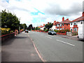
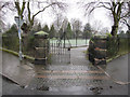
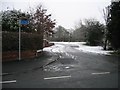
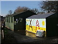
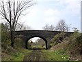
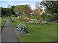
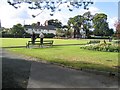
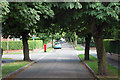
55 photos from this area
Area Information
Key information about the CH2 3EF including its size, population, and administrative classification.
- Area Type
- Postcode
- Area Size
- 7599 m²
- Population
- Not available
- Population Density
- Not available
House Prices in CH2 3EF
16
Properties
£302,444
Average Sold Price
£90,000
Lowest Price
£495,000
Highest Price
Showing 16 properties
| Address | Type | Beds | Baths | Last Sale Price | Last Sale Date | |
|---|---|---|---|---|---|---|
| 234 Hoole Lane, Chester, CH2 3EF | Detached | 3 | 1 | £495,000 | Jan 2025 | |
| 254 Hoole Lane, Chester, CH2 3EF | Semi-detached | 3 | 1 | £410,000 | May 2023 | |
| 232 Hoole Lane, Chester, CH2 3EF | Detached | 3 | 1 | £400,000 | Apr 2021 | |
| 240 Hoole Lane, Chester, CH2 3EF | Detached | 3 | 1 | £475,000 | Aug 2020 | |
| 258 Hoole Lane, Chester, CH2 3EF | house | - | - | £310,000 | Aug 2017 | |
| 250 Hoole Lane, Chester, CH2 3EF | Bungalow | - | - | £164,995 | Aug 2013 | |
| 244 Hoole Lane, Chester, CH2 3EF | Bungalow | - | - | £224,000 | Mar 2010 | |
| 236 Hoole Lane, Chester, CH2 3EF | Detached | - | - | £153,000 | May 2001 | |
| 242 Hoole Lane, Chester, CH2 3EF | Detached | 3 | 2 | £90,000 | Aug 1996 | |
| 238 Hoole Lane, Chester, CH2 3EF | Detached | - | - | - | - |
Page 1 of 2
Energy Efficiency in CH2 3EF
Amenities
Schools
| Rank | School | Type | Entry gender | Ages |
|---|
Explore more schools in this area
Go to Schools tabDemographics
Household Size
Family (3-5 people)
most common
Accommodation Type
Houses
most common
Tenure
83
majority
Ethnic Group
White
most common
Religion
N/A
most common
Household Composition
N/A
most common
Age
47
median
Adults (30-64 years)
most common
Household Deprivation
N/A
with no deprivation
NS-SEC
42
in Lower managerial occupations
Explore more demographic insights in this area
Go to Demographics tabPlanning
Planning Constraints
- Flood RiskPremium
- Ramsar Wetland SitesPremium
- Area of Outstanding Natural BeautyPremium
- Protected Nature ReservePremium
- Protected WoodlandPremium