Area Overview for CH2 3AF
Photos of CH2 3AF
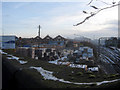
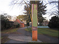
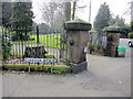
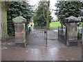
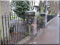
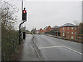
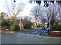
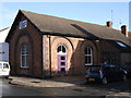
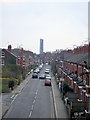
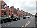
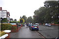
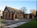
100 photos from this area
Area Information
Key information about the CH2 3AF including its size, population, and administrative classification.
- Area Type
- Postcode
- Area Size
- 1.0 hectares
- Population
- 1432
- Population Density
- 5489 people/km²
House Prices in CH2 3AF
15
Properties
£332,800
Average Sold Price
£172,500
Lowest Price
£615,000
Highest Price
Showing 15 properties
| Address | Type | Beds | Baths | Last Sale Price | Last Sale Date | |
|---|---|---|---|---|---|---|
| Flookersbrook Hall, Flookersbrook, Chester, CH2 3AF | Industrial | - | - | £253,000 | Jun 2021 | |
| Flat, The Flookersbrook, Ermine Road, Chester, CH2 3AF | Flat | - | - | £330,000 | Mar 2019 | |
| The Gables, Flookersbrook, Chester, CH2 3AF | house | - | - | £615,000 | Sep 2015 | |
| The Cottage, Flookersbrook, Chester, CH2 3AF | Semi-detached | 3 | 1 | £293,500 | Apr 2002 | |
| Poplar House, Flookersbrook, Chester, CH2 3AF | Detached | 5 | 3 | £172,500 | Feb 1997 | |
| The Coach House, Flookersbrook, Chester, CH2 3AF | Detached | 3 | 1 | - | - | |
| Spring Lodge, Flookersbrook, Chester, CH2 3AF | Detached | 5 | 3 | - | - | |
| Flat 1A, Brookdale, Flookersbrook, Chester, CH2 3AF | Flat | - | - | - | - | |
| Flat 6, Brookdale, Flookersbrook, Chester, CH2 3AF | Flat | - | - | - | - | |
| Flat 1, Brookdale, Flookersbrook, Chester, CH2 3AF | Flat | - | 1 | - | - |
Page 1 of 2
Energy Efficiency in CH2 3AF
Amenities
Schools
| Rank | School | Type | Entry gender | Ages |
|---|
Explore more schools in this area
Go to Schools tabDemographics
Household Size
Family (3-5 people)
most common
Accommodation Type
Houses
most common
Tenure
63
majority
Ethnic Group
White
most common
Religion
N/A
most common
Household Composition
N/A
most common
Age
47
median
Adults (30-64 years)
most common
Household Deprivation
N/A
with no deprivation
NS-SEC
44
in Lower managerial occupations
Explore more demographic insights in this area
Go to Demographics tabPlanning
Planning Constraints
- Flood RiskPremium
- Ramsar Wetland SitesPremium
- Area of Outstanding Natural BeautyPremium
- Protected Nature ReservePremium
- Protected WoodlandPremium