Area Overview for CA28 9BB
Photos of CA28 9BB
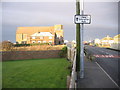
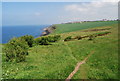
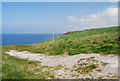
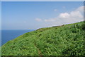
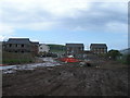
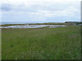
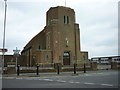
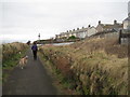
24 photos from this area
Area Information
Key information about the CA28 9BB including its size, population, and administrative classification.
- Area Type
- Postcode
- Area Size
- 6869 m²
- Population
- 1436
- Population Density
- 209040 people/km²
House Prices in CA28 9BB
24
Properties
£83,081
Average Sold Price
£26,500
Lowest Price
£125,000
Highest Price
Showing 24 properties
| Address | Type | Beds | Baths | Last Sale Price | Last Sale Date | |
|---|---|---|---|---|---|---|
| 244 High Road, Whitehaven, CA28 9BB | Terraced | 3 | 1 | £125,000 | Dec 2024 | |
| 256 High Road, Whitehaven, CA28 9BB | Terraced | 3 | 1 | £57,500 | Nov 2024 | |
| 266 High Road, Whitehaven, CA28 9BB | Terraced | 3 | 1 | £115,000 | Oct 2024 | |
| 248 High Road, Whitehaven, CA28 9BB | Terraced | 4 | 1 | £85,000 | Jun 2023 | |
| 270 High Road, Whitehaven, CA28 9BB | Terraced | 2 | 1 | £76,950 | Jan 2022 | |
| 262 High Road, Whitehaven, CA28 9BB | house | - | - | £85,000 | Nov 2021 | |
| 284 High Road, Whitehaven, CA28 9BB | Terraced | 2 | 1 | £95,000 | Sep 2021 | |
| 274 High Road, Whitehaven, CA28 9BB | Terraced | 3 | - | £80,000 | Aug 2021 | |
| 268 High Road, Whitehaven, CA28 9BB | house | - | - | £107,000 | Mar 2021 | |
| 280 High Road, Whitehaven, CA28 9BB | house | - | - | £71,000 | Dec 2020 |
Page 1 of 3
Energy Efficiency in CA28 9BB
Amenities
Schools
| Rank | School | Type | Entry gender | Ages |
|---|
Explore more schools in this area
Go to Schools tabDemographics
Household Size
One person
most common
Accommodation Type
Houses
most common
Tenure
65
majority
Ethnic Group
White
most common
Religion
N/A
most common
Household Composition
N/A
most common
Age
47
median
Adults (30-64 years)
most common
Household Deprivation
N/A
with no deprivation
NS-SEC
24
in Lower managerial occupations
Explore more demographic insights in this area
Go to Demographics tabPlanning
Planning Constraints
- Flood RiskPremium
- Ramsar Wetland SitesPremium
- Area of Outstanding Natural BeautyPremium
- Protected Nature ReservePremium
- Protected WoodlandPremium