Area Overview for BL9 8HU
Photos of BL9 8HU
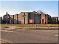
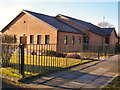
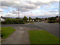
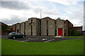
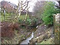
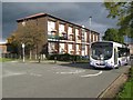
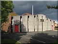
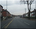
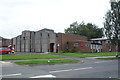
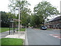
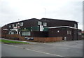
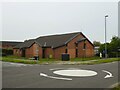
21 photos from this area
Area Information
Key information about the BL9 8HU including its size, population, and administrative classification.
- Area Type
- Postcode
- Area Size
- 8040 m²
- Population
- Not available
- Population Density
- Not available
House Prices in BL9 8HU
27
Properties
£238,683
Average Sold Price
£80,000
Lowest Price
£400,000
Highest Price
Showing 27 properties
| Address | Type | Beds | Baths | Last Sale Price | Last Sale Date | |
|---|---|---|---|---|---|---|
| 34 Ennerdale Drive, Bury, BL9 8HU | Detached | 3 | 1 | £400,000 | Aug 2025 | |
| 4 Ennerdale Drive, Bury, BL9 8HU | house | 3 | 2 | £385,000 | Feb 2023 | |
| 36 Ennerdale Drive, Bury, BL9 8HU | house | - | - | £337,000 | Jan 2023 | |
| 8 Ennerdale Drive, Bury, BL9 8HU | house | - | - | £332,000 | Jun 2022 | |
| 54 Ennerdale Drive, Bury, BL9 8HU | Semi-detached | 4 | 2 | £280,000 | May 2019 | |
| 56 Ennerdale Drive, Bury, BL9 8HU | house | - | - | £262,000 | Jan 2019 | |
| 28 Ennerdale Drive, Bury, BL9 8HU | house | - | - | £242,750 | Dec 2017 | |
| 10 Ennerdale Drive, Bury, BL9 8HU | Detached | 3 | - | £211,000 | Jul 2016 | |
| 38 Ennerdale Drive, Bury, BL9 8HU | Semi-detached | 3 | - | £162,000 | Nov 2013 | |
| 22 Ennerdale Drive, Bury, BL9 8HU | house | 4 | - | £196,000 | Aug 2011 |
Page 1 of 3
Energy Efficiency in BL9 8HU
Amenities
Schools
| Rank | School | Type | Entry gender | Ages |
|---|
Explore more schools in this area
Go to Schools tabDemographics
Household Size
Family (3-5 people)
most common
Accommodation Type
Houses
most common
Tenure
93
majority
Ethnic Group
White
most common
Religion
N/A
most common
Household Composition
N/A
most common
Age
47
median
Adults (30-64 years)
most common
Household Deprivation
N/A
with no deprivation
NS-SEC
44
in Lower managerial occupations
Explore more demographic insights in this area
Go to Demographics tabPlanning
Planning Constraints
- Flood RiskPremium
- Ramsar Wetland SitesPremium
- Area of Outstanding Natural BeautyPremium
- Protected Nature ReservePremium
- Protected WoodlandPremium