Area Overview for BL9 8HW
Photos of BL9 8HW

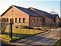
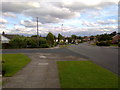
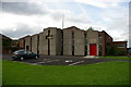
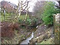
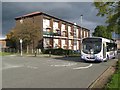
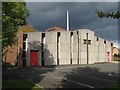
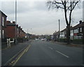
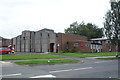
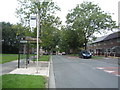
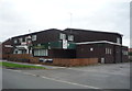
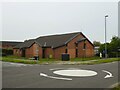
21 photos from this area
Area Information
Key information about the BL9 8HW including its size, population, and administrative classification.
- Area Type
- Postcode
- Area Size
- 1.0 hectares
- Population
- Not available
- Population Density
- Not available
House Prices in BL9 8HW
27
Properties
£197,247
Average Sold Price
£70,000
Lowest Price
£320,000
Highest Price
Showing 27 properties
| Address | Type | Beds | Baths | Last Sale Price | Last Sale Date | |
|---|---|---|---|---|---|---|
| 49 Sandown Road, Bury, BL9 8HW | Semi-detached | 3 | 1 | £260,000 | May 2024 | |
| 55 Sandown Road, Bury, BL9 8HW | Semi-detached | 3 | 1 | £310,000 | Jan 2023 | |
| 54 Sandown Road, Bury, BL9 8HW | house | - | - | £320,000 | Sep 2021 | |
| 68 Sandown Road, Bury, BL9 8HW | house | - | - | £317,000 | Oct 2020 | |
| 57 Sandown Road, Bury, BL9 8HW | house | - | - | £230,500 | Sep 2020 | |
| 43 Sandown Road, Bury, BL9 8HW | Semi-detached | 4 | 2 | £250,000 | Sep 2018 | |
| 46 Sandown Road, Bury, BL9 8HW | Detached | 4 | - | £255,000 | Mar 2018 | |
| 41 Sandown Road, Bury, BL9 8HW | Semi-detached | 3 | - | £187,000 | Jul 2016 | |
| 60 Sandown Road, Bury, BL9 8HW | Detached | 3 | - | £186,000 | Oct 2013 | |
| 50 Sandown Road, Bury, BL9 8HW | Semi-detached | - | - | £164,000 | Jan 2004 |
Page 1 of 3
Energy Efficiency in BL9 8HW
Amenities
Schools
| Rank | School | Type | Entry gender | Ages |
|---|
Explore more schools in this area
Go to Schools tabDemographics
Household Size
Family (3-5 people)
most common
Accommodation Type
Houses
most common
Tenure
93
majority
Ethnic Group
White
most common
Religion
N/A
most common
Household Composition
N/A
most common
Age
47
median
Adults (30-64 years)
most common
Household Deprivation
N/A
with no deprivation
NS-SEC
44
in Lower managerial occupations
Explore more demographic insights in this area
Go to Demographics tabPlanning
Planning Constraints
- Flood RiskPremium
- Ramsar Wetland SitesPremium
- Area of Outstanding Natural BeautyPremium
- Protected Nature ReservePremium
- Protected WoodlandPremium