Area Overview for BL9 7DY
Photos of BL9 7DY

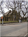
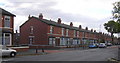
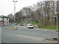
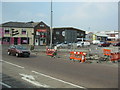
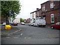
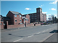
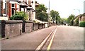
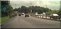
100 photos from this area
Area Information
Key information about the BL9 7DY including its size, population, and administrative classification.
- Area Type
- Postcode
- Area Size
- 1.0 hectares
- Population
- 2193
- Population Density
- 9340 people/km²
House Prices in BL9 7DY
32
Properties
£91,882
Average Sold Price
£19,000
Lowest Price
£174,500
Highest Price
Showing 32 properties
| Address | Type | Beds | Baths | Last Sale Price | Last Sale Date | |
|---|---|---|---|---|---|---|
| 110 Heywood Street, Bury, BL9 7DY | Terraced | 3 | 1 | £170,000 | Jun 2023 | |
| 126 Heywood Street, Bury, BL9 7DY | house | - | - | £174,500 | Dec 2021 | |
| 104 Heywood Street, Bury, BL9 7DY | house | - | - | £135,000 | Dec 2021 | |
| 132 Heywood Street, Bury, BL9 7DY | house | - | - | £140,000 | Apr 2020 | |
| 134 Heywood Street, Bury, BL9 7DY | Terraced | - | - | £71,250 | Sep 2019 | |
| 100 Heywood Street, Bury, BL9 7DY | Terraced | 3 | 1 | £118,000 | Nov 2018 | |
| 106 Heywood Street, Bury, BL9 7DY | house | - | - | £110,000 | Jun 2011 | |
| 98 Heywood Street, Bury, BL9 7DY | house | - | - | £115,000 | Aug 2010 | |
| 120 Heywood Street, Bury, BL9 7DY | house | - | - | £106,000 | Jul 2010 | |
| 140 Heywood Street, Bury, BL9 7DY | Terraced | 3 | 1 | £80,000 | Oct 2009 |
Page 1 of 4
Energy Efficiency in BL9 7DY
Amenities
Schools
| Rank | School | Type | Entry gender | Ages |
|---|
Explore more schools in this area
Go to Schools tabDemographics
Household Size
Family (3-5 people)
most common
Accommodation Type
Houses
most common
Tenure
65
majority
Ethnic Group
asian_total
most common
Religion
N/A
most common
Household Composition
N/A
most common
Age
47
median
Adults (30-64 years)
most common
Household Deprivation
N/A
with no deprivation
NS-SEC
17
in Lower managerial occupations
Explore more demographic insights in this area
Go to Demographics tabPlanning
Planning Constraints
- Flood RiskPremium
- Ramsar Wetland SitesPremium
- Area of Outstanding Natural BeautyPremium
- Protected Nature ReservePremium
- Protected WoodlandPremium