Area Overview for BL9 6SE
Photos of BL9 6SE
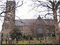
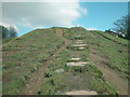
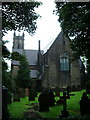
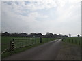
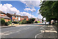
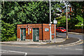
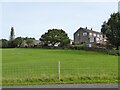
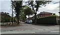
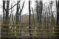
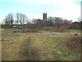
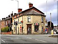
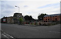
23 photos from this area
Area Information
Key information about the BL9 6SE including its size, population, and administrative classification.
- Area Type
- Postcode
- Area Size
- 5048 m²
- Population
- 1488
- Population Density
- 1113 people/km²
House Prices in BL9 6SE
16
Properties
£152,569
Average Sold Price
£740
Lowest Price
£315,000
Highest Price
Showing 16 properties
| Address | Type | Beds | Baths | Last Sale Price | Last Sale Date | |
|---|---|---|---|---|---|---|
| 18 Old Lane, Bury, BL9 6SE | Semi-detached | 3 | 1 | £315,000 | Oct 2024 | |
| 12 Old Lane, Bury, BL9 6SE | Bungalow | - | - | £265,000 | Jun 2021 | |
| 9 Old Lane, Bury, BL9 6SE | house | - | - | £127,000 | Nov 2020 | |
| 16 Old Lane, Bury, BL9 6SE | house | 3 | - | £740 | Sep 2020 | |
| 3A Old Lane, Bury, BL9 6SE | house | - | - | £145,000 | Nov 2019 | |
| 11 Old Lane, Bury, BL9 6SE | house | - | - | £145,000 | Aug 2017 | |
| 5 Old Lane, Bury, BL9 6SE | Terraced | 3 | 1 | £154,995 | Jan 2017 | |
| 14 Old Lane, Bury, BL9 6SE | Semi-detached | - | - | £157,950 | Aug 2006 | |
| 2 Old Lane, Bury, BL9 6SE | Semi-detached | 2 | 1 | £155,000 | Jul 2004 | |
| 20 Old Lane, Bury, BL9 6SE | Semi-detached | - | - | £60,000 | Feb 1998 |
Page 1 of 2
Energy Efficiency in BL9 6SE
Amenities
Schools
| Rank | School | Type | Entry gender | Ages |
|---|
Explore more schools in this area
Go to Schools tabDemographics
Household Size
Two person
most common
Accommodation Type
Houses
most common
Tenure
86
majority
Ethnic Group
White
most common
Religion
N/A
most common
Household Composition
N/A
most common
Age
47
median
Adults (30-64 years)
most common
Household Deprivation
N/A
with no deprivation
NS-SEC
41
in Lower managerial occupations
Explore more demographic insights in this area
Go to Demographics tabPlanning
Planning Constraints
- Flood RiskPremium
- Ramsar Wetland SitesPremium
- Area of Outstanding Natural BeautyPremium
- Protected Nature ReservePremium
- Protected WoodlandPremium