Area Overview for BL9 6QD
Photos of BL9 6QD
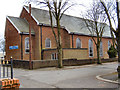
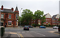
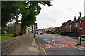
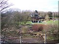
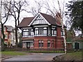
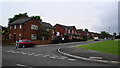
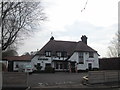
62 photos from this area
Area Information
Key information about the BL9 6QD including its size, population, and administrative classification.
- Area Type
- Postcode
- Area Size
- 4925 m²
- Population
- 1708
- Population Density
- 3897 people/km²
House Prices in BL9 6QD
13
Properties
£177,845
Average Sold Price
£62,500
Lowest Price
£251,000
Highest Price
Showing 13 properties
| Address | Type | Beds | Baths | Last Sale Price | Last Sale Date | |
|---|---|---|---|---|---|---|
| 22 Northfield Road, Bury, BL9 6QD | Semi-detached | 3 | 1 | £251,000 | Feb 2025 | |
| 14 Northfield Road, Bury, BL9 6QD | Semi-detached | 3 | 1 | £180,000 | Jul 2024 | |
| 16 Northfield Road, Bury, BL9 6QD | Semi-detached | 3 | 1 | £228,000 | Jun 2024 | |
| 28 Northfield Road, Bury, BL9 6QD | house | - | - | £240,000 | Mar 2024 | |
| 20 Northfield Road, Bury, BL9 6QD | house | - | - | £250,000 | Aug 2021 | |
| 18 Northfield Road, Bury, BL9 6QD | house | - | - | £182,000 | Feb 2021 | |
| 15 Northfield Road, Bury, BL9 6QD | Semi-detached | 3 | 2 | £190,000 | Sep 2018 | |
| 21 Northfield Road, Bury, BL9 6QD | Semi-detached | 3 | 1 | £125,000 | May 2008 | |
| 17 Northfield Road, Bury, BL9 6QD | Semi-detached | - | - | £62,500 | Oct 2000 | |
| 12 Northfield Road, Bury, BL9 6QD | Semi-detached | - | - | £69,950 | Oct 1999 |
Page 1 of 2
Energy Efficiency in BL9 6QD
Amenities
Schools
| Rank | School | Type | Entry gender | Ages |
|---|
Explore more schools in this area
Go to Schools tabDemographics
Household Size
One person
most common
Accommodation Type
Houses
most common
Tenure
67
majority
Ethnic Group
White
most common
Religion
N/A
most common
Household Composition
N/A
most common
Age
47
median
Adults (30-64 years)
most common
Household Deprivation
N/A
with no deprivation
NS-SEC
27
in Lower managerial occupations
Explore more demographic insights in this area
Go to Demographics tabPlanning
Planning Constraints
- Flood RiskPremium
- Ramsar Wetland SitesPremium
- Area of Outstanding Natural BeautyPremium
- Protected Nature ReservePremium
- Protected WoodlandPremium