Area Overview for BL9 6QE
Photos of BL9 6QE
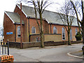
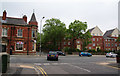
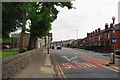
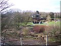
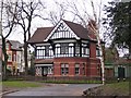
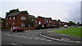
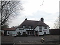
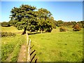
62 photos from this area
Area Information
Key information about the BL9 6QE including its size, population, and administrative classification.
- Area Type
- Postcode
- Area Size
- 7360 m²
- Population
- 1546
- Population Density
- 4722 people/km²
House Prices in BL9 6QE
35
Properties
£102,976
Average Sold Price
£27,500
Lowest Price
£192,000
Highest Price
Showing 35 properties
| Address | Type | Beds | Baths | Last Sale Price | Last Sale Date | |
|---|---|---|---|---|---|---|
| 402 Walmersley Road, Bury, BL9 6QE | Terraced | 2 | 1 | £180,000 | Feb 2025 | |
| 432 Walmersley Road, Bury, BL9 6QE | Cottage | 1 | 1 | £116,000 | Nov 2024 | |
| 412 Walmersley Road, Bury, BL9 6QE | Terraced | - | - | £50,000 | Oct 2024 | |
| 428 Walmersley Road, Bury, BL9 6QE | Cottage | 1 | 1 | £98,500 | May 2023 | |
| 410 Walmersley Road, Bury, BL9 6QE | house | 2 | 1 | £175,000 | Mar 2023 | |
| 372 Walmersley Road, Bury, BL9 6QE | house | 3 | 1 | £192,000 | Mar 2023 | |
| 400 Walmersley Road, Bury, BL9 6QE | Cottage | 2 | 1 | £138,000 | Jan 2023 | |
| 376 Walmersley Road, Bury, BL9 6QE | house | 2 | - | £85,000 | Sep 2018 | |
| 378 Walmersley Road, Bury, BL9 6QE | Terraced | 3 | - | £139,950 | Jun 2018 | |
| 424 Walmersley Road, Bury, BL9 6QE | Terraced | 2 | 1 | £114,100 | Jun 2018 |
Page 1 of 4
Energy Efficiency in BL9 6QE
Amenities
Schools
| Rank | School | Type | Entry gender | Ages |
|---|
Explore more schools in this area
Go to Schools tabDemographics
Household Size
Two person
most common
Accommodation Type
Houses
most common
Tenure
60
majority
Ethnic Group
White
most common
Religion
N/A
most common
Household Composition
N/A
most common
Age
47
median
Adults (30-64 years)
most common
Household Deprivation
N/A
with no deprivation
NS-SEC
23
in Lower managerial occupations
Explore more demographic insights in this area
Go to Demographics tabPlanning
Planning Constraints
- Flood RiskPremium
- Ramsar Wetland SitesPremium
- Area of Outstanding Natural BeautyPremium
- Protected Nature ReservePremium
- Protected WoodlandPremium