Area Overview for BL9 6PX
Photos of BL9 6PX
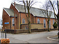
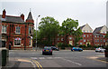
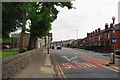
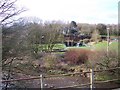
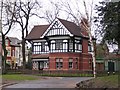
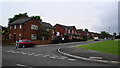
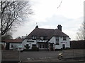
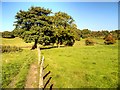
62 photos from this area
Area Information
Key information about the BL9 6PX including its size, population, and administrative classification.
- Area Type
- Postcode
- Area Size
- 7745 m²
- Population
- 1708
- Population Density
- 3897 people/km²
House Prices in BL9 6PX
25
Properties
£129,192
Average Sold Price
£41,000
Lowest Price
£235,000
Highest Price
Showing 25 properties
| Address | Type | Beds | Baths | Last Sale Price | Last Sale Date | |
|---|---|---|---|---|---|---|
| 33 Milbourne Road, Bury, BL9 6PX | Semi-detached | 3 | 1 | £183,000 | Aug 2024 | |
| 44 Milbourne Road, Bury, BL9 6PX | Semi-detached | 3 | 1 | £235,000 | Oct 2022 | |
| 34 Milbourne Road, Bury, BL9 6PX | Semi-detached | 3 | 1 | £165,000 | Aug 2019 | |
| 40 Milbourne Road, Bury, BL9 6PX | house | 3 | - | £158,000 | Dec 2018 | |
| 45 Milbourne Road, Bury, BL9 6PX | house | - | - | £150,000 | Jul 2018 | |
| 50 Milbourne Road, Bury, BL9 6PX | Detached | 3 | 1 | £177,000 | Aug 2015 | |
| 52 Milbourne Road, Bury, BL9 6PX | Detached | 2 | - | £140,000 | Oct 2014 | |
| 42 Milbourne Road, Bury, BL9 6PX | Semi-detached | 3 | - | £121,000 | May 2013 | |
| 37 Milbourne Road, Bury, BL9 6PX | Semi-detached | 3 | - | £115,000 | Mar 2011 | |
| 31 Milbourne Road, Bury, BL9 6PX | house | - | - | £127,000 | Jan 2011 |
Page 1 of 3
Energy Efficiency in BL9 6PX
Amenities
Schools
| Rank | School | Type | Entry gender | Ages |
|---|
Explore more schools in this area
Go to Schools tabDemographics
Household Size
One person
most common
Accommodation Type
Houses
most common
Tenure
67
majority
Ethnic Group
White
most common
Religion
N/A
most common
Household Composition
N/A
most common
Age
47
median
Adults (30-64 years)
most common
Household Deprivation
N/A
with no deprivation
NS-SEC
27
in Lower managerial occupations
Explore more demographic insights in this area
Go to Demographics tabPlanning
Planning Constraints
- Flood RiskPremium
- Ramsar Wetland SitesPremium
- Area of Outstanding Natural BeautyPremium
- Protected Nature ReservePremium
- Protected WoodlandPremium