Area Overview for BL9 6PN
Photos of BL9 6PN
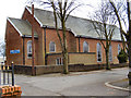
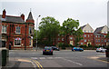
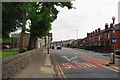
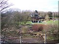
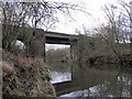
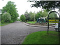
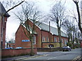

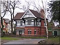
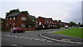
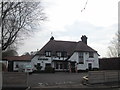
62 photos from this area
Area Information
Key information about the BL9 6PN including its size, population, and administrative classification.
- Area Type
- Postcode
- Area Size
- 1.2 hectares
- Population
- 1708
- Population Density
- 3897 people/km²
House Prices in BL9 6PN
36
Properties
£145,933
Average Sold Price
£53,375
Lowest Price
£295,000
Highest Price
Showing 36 properties
| Address | Type | Beds | Baths | Last Sale Price | Last Sale Date | |
|---|---|---|---|---|---|---|
| 38 Greymont Road, Bury, BL9 6PN | Bungalow | 4 | 2 | £295,000 | Jun 2024 | |
| 27 Greymont Road, Bury, BL9 6PN | Semi-detached | 3 | 1 | £257,500 | Mar 2024 | |
| 35 Greymont Road, Bury, BL9 6PN | Retail | 3 | 1 | £259,100 | Sep 2022 | |
| 23 Greymont Road, Bury, BL9 6PN | house | - | - | £56,000 | Jan 2021 | |
| 7 Greymont Road, Bury, BL9 6PN | Semi-detached | 3 | 2 | £193,000 | Nov 2017 | |
| 17 Greymont Road, Bury, BL9 6PN | Bungalow | 3 | - | £53,375 | Oct 2017 | |
| 29 Greymont Road, Bury, BL9 6PN | Semi-detached | 3 | 1 | £144,999 | Jul 2015 | |
| 32 Greymont Road, Bury, BL9 6PN | Semi-detached | 3 | 2 | £155,500 | Feb 2015 | |
| 24 Greymont Road, Bury, BL9 6PN | Semi-detached | - | - | £165,000 | Oct 2012 | |
| 13 Greymont Road, Bury, BL9 6PN | house | - | - | £215,000 | Jul 2008 |
Page 1 of 4
Energy Efficiency in BL9 6PN
Amenities
Schools
| Rank | School | Type | Entry gender | Ages |
|---|
Explore more schools in this area
Go to Schools tabDemographics
Household Size
One person
most common
Accommodation Type
Houses
most common
Tenure
67
majority
Ethnic Group
White
most common
Religion
N/A
most common
Household Composition
N/A
most common
Age
47
median
Adults (30-64 years)
most common
Household Deprivation
N/A
with no deprivation
NS-SEC
27
in Lower managerial occupations
Explore more demographic insights in this area
Go to Demographics tabPlanning
Planning Constraints
- Flood RiskPremium
- Ramsar Wetland SitesPremium
- Area of Outstanding Natural BeautyPremium
- Protected Nature ReservePremium
- Protected WoodlandPremium