Area Overview for BL9 0TG
Photos of BL9 0TG
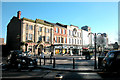
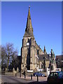
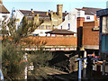
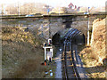
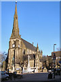
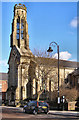
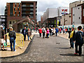
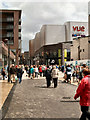
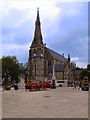
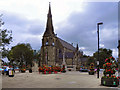
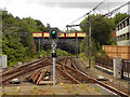
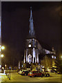
100 photos from this area
Area Information
Key information about the BL9 0TG including its size, population, and administrative classification.
- Area Type
- Postcode
- Area Size
- 3.9 hectares
- Population
- 1862
- Population Density
- 2710 people/km²
House Prices in BL9 0TG
44
Properties
£103,930
Average Sold Price
£31,000
Lowest Price
£160,000
Highest Price
Showing 44 properties
| Address | Type | Beds | Baths | Last Sale Price | Last Sale Date | |
|---|---|---|---|---|---|---|
| 32 South Bank Road, Bury, BL9 0TG | house | - | - | £140,000 | Mar 2022 | |
| 42 South Bank Road, Bury, BL9 0TG | house | - | - | £94,000 | Dec 2021 | |
| 48 South Bank Road, Bury, BL9 0TG | Terraced | 3 | 1 | £160,000 | Oct 2018 | |
| 44 South Bank Road, Bury, BL9 0TG | Terraced | 3 | 1 | £116,000 | May 2017 | |
| 34 South Bank Road, Bury, BL9 0TG | house | 3 | 1 | £115,000 | Jul 2016 | |
| 20 South Bank Road, Bury, BL9 0TG | Terraced | - | - | £115,000 | Oct 2013 | |
| 6 South Bank Road, Bury, BL9 0TG | house | - | - | £120,000 | Jan 2013 | |
| 30 South Bank Road, Bury, BL9 0TG | house | - | - | £130,000 | Jan 2010 | |
| 28 South Bank Road, Bury, BL9 0TG | house | - | - | £140,000 | Feb 2008 | |
| 22 South Bank Road, Bury, BL9 0TG | Terraced | - | - | £100,000 | Nov 2006 |
Page 1 of 5
Energy Efficiency in BL9 0TG
Amenities
Schools
| Rank | School | Type | Entry gender | Ages |
|---|
Explore more schools in this area
Go to Schools tabDemographics
Household Size
One person
most common
Accommodation Type
Houses
most common
Tenure
58
majority
Ethnic Group
White
most common
Religion
N/A
most common
Household Composition
N/A
most common
Age
47
median
Adults (30-64 years)
most common
Household Deprivation
N/A
with no deprivation
NS-SEC
22
in Lower managerial occupations
Explore more demographic insights in this area
Go to Demographics tabPlanning
Planning Constraints
- Flood RiskPremium
- Ramsar Wetland SitesPremium
- Area of Outstanding Natural BeautyPremium
- Protected Nature ReservePremium
- Protected WoodlandPremium