Area Overview for BL1 7BG
Photos of BL1 7BG
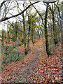
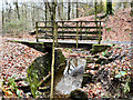
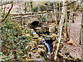
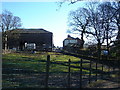
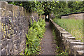
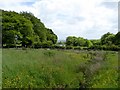
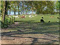
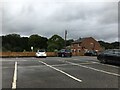
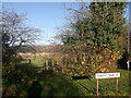
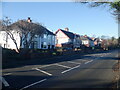
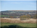
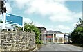
32 photos from this area
Area Information
Key information about the BL1 7BG including its size, population, and administrative classification.
- Area Type
- Postcode
- Area Size
- 1.1 hectares
- Population
- 1846
- Population Density
- 5671 people/km²
House Prices in BL1 7BG
28
Properties
£163,646
Average Sold Price
£53,050
Lowest Price
£395,000
Highest Price
Showing 28 properties
| Address | Type | Beds | Baths | Last Sale Price | Last Sale Date | |
|---|---|---|---|---|---|---|
| 10 Hurstwood, Bolton, BL1 7BG | Detached | 4 | 2 | £395,000 | Oct 2024 | |
| 26 Hurstwood, Bolton, BL1 7BG | Terraced | 3 | 2 | £202,500 | Jun 2024 | |
| 2 Hurstwood, Bolton, BL1 7BG | Detached | 4 | 2 | £353,500 | Mar 2024 | |
| 16 Hurstwood, Bolton, BL1 7BG | Semi-detached | 2 | 1 | £207,000 | Sep 2023 | |
| 7 Hurstwood, Bolton, BL1 7BG | Detached | 3 | 2 | £270,000 | Apr 2023 | |
| 29 Hurstwood, Bolton, BL1 7BG | Semi-detached | 3 | 1 | £217,000 | Dec 2022 | |
| 27 Hurstwood, Bolton, BL1 7BG | house | - | - | £153,000 | Aug 2021 | |
| 1 Hurstwood, Bolton, BL1 7BG | house | 4 | 2 | £350,000 | Feb 2021 | |
| 25 Hurstwood, Bolton, BL1 7BG | house | - | - | £150,000 | Sep 2020 | |
| 14 Hurstwood, Bolton, BL1 7BG | house | 3 | 2 | £169,000 | Aug 2020 |
Page 1 of 3
Energy Efficiency in BL1 7BG
Amenities
Schools
| Rank | School | Type | Entry gender | Ages |
|---|
Explore more schools in this area
Go to Schools tabDemographics
Household Size
Family (3-5 people)
most common
Accommodation Type
Houses
most common
Tenure
41
majority
Ethnic Group
White
most common
Religion
N/A
most common
Household Composition
N/A
most common
Age
47
median
Adults (30-64 years)
most common
Household Deprivation
N/A
with no deprivation
NS-SEC
26
in Lower managerial occupations
Explore more demographic insights in this area
Go to Demographics tabPlanning
Planning Constraints
- Flood RiskPremium
- Ramsar Wetland SitesPremium
- Area of Outstanding Natural BeautyPremium
- Protected Nature ReservePremium
- Protected WoodlandPremium