Area Overview for BL0 9AH
Photos of BL0 9AH
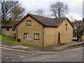
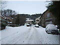
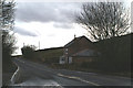
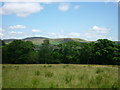
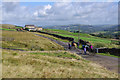
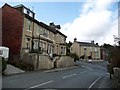
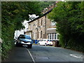
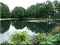
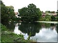
65 photos from this area
Area Information
Key information about the BL0 9AH including its size, population, and administrative classification.
- Area Type
- Postcode
- Area Size
- 4081 m²
- Population
- Not available
- Population Density
- Not available
House Prices in BL0 9AH
13
Properties
£144,831
Average Sold Price
£66,000
Lowest Price
£260,000
Highest Price
Showing 13 properties
| Address | Type | Beds | Baths | Last Sale Price | Last Sale Date | |
|---|---|---|---|---|---|---|
| 18 Grant Mews, Ramsbottom, BL0 9AH | Terraced | 3 | 2 | £260,000 | May 2025 | |
| 4 Grant Mews, Ramsbottom, BL0 9AH | Terraced | 3 | 2 | £233,900 | Mar 2022 | |
| 12 Grant Mews, Ramsbottom, BL0 9AH | house | 3 | 2 | £220,000 | Jan 2021 | |
| 26 Grant Mews, Ramsbottom, BL0 9AH | Terraced | - | - | £146,000 | Jun 2015 | |
| 8 Grant Mews, Ramsbottom, BL0 9AH | Terraced | 3 | 2 | £153,000 | Jul 2011 | |
| 14 Grant Mews, Ramsbottom, BL0 9AH | Flat | - | - | £129,000 | Apr 2007 | |
| 22 Grant Mews, Ramsbottom, BL0 9AH | Terraced | - | - | £155,000 | Jun 2006 | |
| 10 Grant Mews, Ramsbottom, BL0 9AH | Terraced | - | - | £157,500 | Mar 2006 | |
| 2 Grant Mews, Ramsbottom, BL0 9AH | Terraced | - | - | £107,000 | May 2002 | |
| 16 Grant Mews, Ramsbottom, BL0 9AH | Terraced | - | - | £99,950 | Dec 2001 |
Page 1 of 2
Energy Efficiency in BL0 9AH
Amenities
Schools
| Rank | School | Type | Entry gender | Ages |
|---|
Explore more schools in this area
Go to Schools tabDemographics
Household Size
Two person
most common
Accommodation Type
Houses
most common
Tenure
77
majority
Ethnic Group
White
most common
Religion
N/A
most common
Household Composition
N/A
most common
Age
47
median
Adults (30-64 years)
most common
Household Deprivation
N/A
with no deprivation
NS-SEC
45
in Lower managerial occupations
Explore more demographic insights in this area
Go to Demographics tabPlanning
Planning Constraints
- Flood RiskPremium
- Ramsar Wetland SitesPremium
- Area of Outstanding Natural BeautyPremium
- Protected Nature ReservePremium
- Protected WoodlandPremium