Area Overview for BB7 2PS
Photos of BB7 2PS
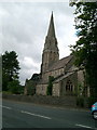
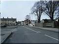
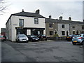
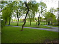
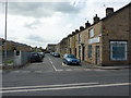
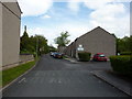
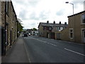
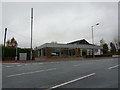
55 photos from this area
Area Information
Key information about the BB7 2PS including its size, population, and administrative classification.
- Area Type
- Postcode
- Area Size
- 1.2 hectares
- Population
- 2269
- Population Density
- 2609 people/km²
House Prices in BB7 2PS
31
Properties
£190,723
Average Sold Price
£64,000
Lowest Price
£280,000
Highest Price
Showing 31 properties
| Address | Type | Beds | Baths | Last Sale Price | Last Sale Date | |
|---|---|---|---|---|---|---|
| 55 Fairfield Drive, Clitheroe, BB7 2PS | Semi-detached | 3 | 1 | £206,000 | Dec 2024 | |
| 49 Fairfield Drive, Clitheroe, BB7 2PS | Semi-detached | 3 | 2 | £250,000 | Apr 2024 | |
| 57 Fairfield Drive, Clitheroe, BB7 2PS | Semi-detached | 4 | 2 | £260,000 | Aug 2023 | |
| 64 Fairfield Drive, Clitheroe, BB7 2PS | Detached | 3 | - | £260,000 | Oct 2022 | |
| 62 Fairfield Drive, Clitheroe, BB7 2PS | house | - | - | £260,000 | Mar 2022 | |
| 88 Fairfield Drive, Clitheroe, BB7 2PS | Detached | 3 | 2 | £164,000 | Jul 2020 | |
| 66 Fairfield Drive, Clitheroe, BB7 2PS | house | - | - | £245,000 | Nov 2018 | |
| 80 Fairfield Drive, Clitheroe, BB7 2PS | Bungalow | 4 | 1 | £219,450 | Jun 2018 | |
| 92 Fairfield Drive, Clitheroe, BB7 2PS | house | 4 | - | £212,500 | Mar 2016 | |
| 70 Fairfield Drive, Clitheroe, BB7 2PS | house | 4 | - | £280,000 | Oct 2015 |
Page 1 of 4
Energy Efficiency in BB7 2PS
Amenities
Schools
| Rank | School | Type | Entry gender | Ages |
|---|
Explore more schools in this area
Go to Schools tabDemographics
Household Size
Family (3-5 people)
most common
Accommodation Type
Houses
most common
Tenure
73
majority
Ethnic Group
White
most common
Religion
N/A
most common
Household Composition
N/A
most common
Age
47
median
Adults (30-64 years)
most common
Household Deprivation
N/A
with no deprivation
NS-SEC
35
in Lower managerial occupations
Explore more demographic insights in this area
Go to Demographics tabPlanning
Planning Constraints
- Flood RiskPremium
- Ramsar Wetland SitesPremium
- Area of Outstanding Natural BeautyPremium
- Protected Nature ReservePremium
- Protected WoodlandPremium