Area Overview for BB7 2PE
Photos of BB7 2PE
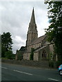
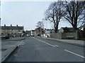
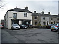
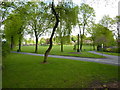
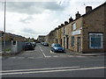
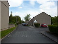
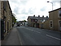
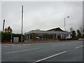


55 photos from this area
Area Information
Key information about the BB7 2PE including its size, population, and administrative classification.
- Area Type
- Postcode
- Area Size
- 3.2 hectares
- Population
- 2269
- Population Density
- 2609 people/km²
House Prices in BB7 2PE
55
Properties
£197,048
Average Sold Price
£59,000
Lowest Price
£340,000
Highest Price
Showing 55 properties
| Address | Type | Beds | Baths | Last Sale Price | Last Sale Date | |
|---|---|---|---|---|---|---|
| 32 Fairfield Drive, Clitheroe, BB7 2PE | Bungalow | - | - | £325,000 | Oct 2023 | |
| 31 Fairfield Drive, Clitheroe, BB7 2PE | house | - | - | £260,000 | Mar 2022 | |
| 40 Fairfield Drive, Clitheroe, BB7 2PE | house | - | - | £275,000 | Jun 2021 | |
| 18 Fairfield Drive, Clitheroe, BB7 2PE | Bungalow | - | - | £280,000 | May 2021 | |
| 25 Fairfield Drive, Clitheroe, BB7 2PE | Semi-detached | 3 | 1 | £210,000 | Feb 2021 | |
| 3 Fairfield Drive, Clitheroe, BB7 2PE | Semi-detached | - | - | £175,000 | Jul 2020 | |
| 26 Fairfield Drive, Clitheroe, BB7 2PE | house | - | - | £335,000 | Jun 2020 | |
| 12 Fairfield Drive, Clitheroe, BB7 2PE | Bungalow | - | - | £310,000 | Sep 2017 | |
| 37 Fairfield Drive, Clitheroe, BB7 2PE | Semi-detached | 3 | - | £199,000 | Jul 2017 | |
| 6 Fairfield Drive, Clitheroe, BB7 2PE | Bungalow | - | - | £175,000 | Jul 2017 |
Page 1 of 6
Energy Efficiency in BB7 2PE
Amenities
Schools
| Rank | School | Type | Entry gender | Ages |
|---|
Explore more schools in this area
Go to Schools tabDemographics
Household Size
Family (3-5 people)
most common
Accommodation Type
Houses
most common
Tenure
73
majority
Ethnic Group
White
most common
Religion
N/A
most common
Household Composition
N/A
most common
Age
47
median
Adults (30-64 years)
most common
Household Deprivation
N/A
with no deprivation
NS-SEC
35
in Lower managerial occupations
Explore more demographic insights in this area
Go to Demographics tabPlanning
Planning Constraints
- Flood RiskPremium
- Ramsar Wetland SitesPremium
- Area of Outstanding Natural BeautyPremium
- Protected Nature ReservePremium
- Protected WoodlandPremium