Area Overview for BB7 2HR
Photos of BB7 2HR
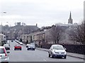
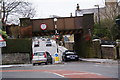
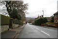
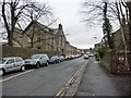

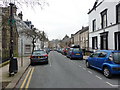
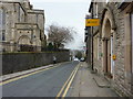

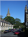
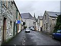
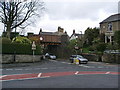
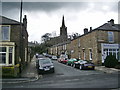
100 photos from this area
Area Information
Key information about the BB7 2HR including its size, population, and administrative classification.
- Area Type
- Postcode
- Area Size
- 3178 m²
- Population
- 1304
- Population Density
- 1756 people/km²
House Prices in BB7 2HR
20
Properties
£138,342
Average Sold Price
£48,000
Lowest Price
£185,000
Highest Price
Showing 20 properties
| Address | Type | Beds | Baths | Last Sale Price | Last Sale Date | |
|---|---|---|---|---|---|---|
| 7 Chester Avenue, Clitheroe, BB7 2HR | Terraced | 2 | 1 | £169,000 | Mar 2024 | |
| 5 Chester Avenue, Clitheroe, BB7 2HR | Terraced | 2 | 1 | £179,995 | Apr 2023 | |
| 11 Chester Avenue, Clitheroe, BB7 2HR | house | - | - | £185,000 | Nov 2021 | |
| 4 Chester Avenue, Clitheroe, BB7 2HR | Terraced | 3 | 1 | £167,000 | Mar 2021 | |
| 18 Chester Avenue, Clitheroe, BB7 2HR | Terraced | 3 | 2 | £120,500 | Sep 2020 | |
| 19 Chester Avenue, Clitheroe, BB7 2HR | Terraced | 3 | 2 | £180,000 | Sep 2020 | |
| 16 Chester Avenue, Clitheroe, BB7 2HR | Terraced | 2 | 1 | £148,000 | Oct 2019 | |
| 12 Chester Avenue, Clitheroe, BB7 2HR | Terraced | 3 | 1 | £170,000 | Mar 2008 | |
| 2 Chester Avenue, Clitheroe, BB7 2HR | Terraced | 2 | 1 | £162,000 | Aug 2006 | |
| 13 Chester Avenue, Clitheroe, BB7 2HR | Terraced | 2 | 1 | £135,000 | Mar 2006 |
Page 1 of 2
Energy Efficiency in BB7 2HR
Amenities
Schools
| Rank | School | Type | Entry gender | Ages |
|---|
Explore more schools in this area
Go to Schools tabDemographics
Household Size
One person
most common
Accommodation Type
Houses
most common
Tenure
67
majority
Ethnic Group
White
most common
Religion
N/A
most common
Household Composition
N/A
most common
Age
47
median
Adults (30-64 years)
most common
Household Deprivation
N/A
with no deprivation
NS-SEC
39
in Lower managerial occupations
Explore more demographic insights in this area
Go to Demographics tabPlanning
Planning Constraints
- Flood RiskPremium
- Ramsar Wetland SitesPremium
- Area of Outstanding Natural BeautyPremium
- Protected Nature ReservePremium
- Protected WoodlandPremium