Area Overview for BB7 2HN
Photos of BB7 2HN
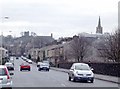
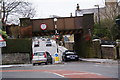
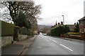
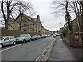

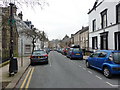
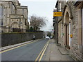

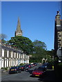
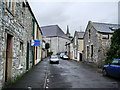
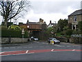
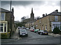
100 photos from this area
Area Information
Key information about the BB7 2HN including its size, population, and administrative classification.
- Area Type
- Postcode
- Area Size
- 1.9 hectares
- Population
- 1304
- Population Density
- 1756 people/km²
House Prices in BB7 2HN
34
Properties
£262,673
Average Sold Price
£85,500
Lowest Price
£675,000
Highest Price
Showing 34 properties
| Address | Type | Beds | Baths | Last Sale Price | Last Sale Date | |
|---|---|---|---|---|---|---|
| 87 Waddington Road, Clitheroe, BB7 2HN | Terraced | 4 | 2 | £300,000 | Aug 2024 | |
| 89 Waddington Road, Clitheroe, BB7 2HN | Terraced | 4 | 1 | £435,000 | Oct 2022 | |
| The Beeches, Waddington Road, Clitheroe, BB7 2HN | Semi-detached | 4 | 3 | £675,000 | May 2022 | |
| 75 Waddington Road, Clitheroe, BB7 2HN | house | 4 | - | £290,000 | Jun 2021 | |
| Inglemead, Waddington Road, Clitheroe, BB7 2HN | house | - | - | £425,000 | Feb 2020 | |
| 73 Waddington Road, Clitheroe, BB7 2HN | Terraced | 3 | 1 | £291,250 | Apr 2019 | |
| Dale Head, 77 Waddington Road, Clitheroe, BB7 2HN | house | - | - | £310,000 | Feb 2019 | |
| 67 Waddington Road, Clitheroe, BB7 2HN | house | - | - | £297,500 | Oct 2018 | |
| 59 Waddington Road, Clitheroe, BB7 2HN | Terraced | 4 | 1 | £200,000 | Nov 2017 | |
| 69 Waddington Road, Clitheroe, BB7 2HN | Terraced | 4 | 1 | £247,500 | Sep 2017 |
Page 1 of 4
Energy Efficiency in BB7 2HN
Amenities
Schools
| Rank | School | Type | Entry gender | Ages |
|---|
Explore more schools in this area
Go to Schools tabDemographics
Household Size
One person
most common
Accommodation Type
Houses
most common
Tenure
67
majority
Ethnic Group
White
most common
Religion
N/A
most common
Household Composition
N/A
most common
Age
47
median
Adults (30-64 years)
most common
Household Deprivation
N/A
with no deprivation
NS-SEC
39
in Lower managerial occupations
Explore more demographic insights in this area
Go to Demographics tabPlanning
Planning Constraints
- Flood RiskPremium
- Ramsar Wetland SitesPremium
- Area of Outstanding Natural BeautyPremium
- Protected Nature ReservePremium
- Protected WoodlandPremium