Area Overview for BB5 2AR
Photos of BB5 2AR
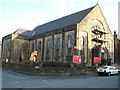
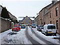
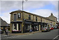
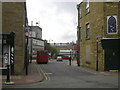
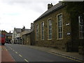
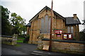
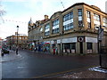

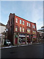
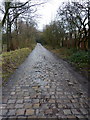
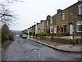
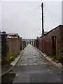
100 photos from this area
Area Information
Key information about the BB5 2AR including its size, population, and administrative classification.
- Area Type
- Postcode
- Area Size
- 3839 m²
- Population
- 1404
- Population Density
- 438 people/km²
House Prices in BB5 2AR
17
Properties
£91,950
Average Sold Price
£49,500
Lowest Price
£145,000
Highest Price
Showing 17 properties
| Address | Type | Beds | Baths | Last Sale Price | Last Sale Date | |
|---|---|---|---|---|---|---|
| 79 Sandy Lane, Accrington, BB5 2AR | Terraced | 3 | 1 | £107,000 | Mar 2024 | |
| 49 Sandy Lane, Accrington, BB5 2AR | Terraced | 3 | 1 | £112,000 | Mar 2023 | |
| 77 Sandy Lane, Accrington, BB5 2AR | Terraced | 3 | 1 | £145,000 | Sep 2021 | |
| 55 Sandy Lane, Accrington, BB5 2AR | house | - | - | £83,000 | Jun 2020 | |
| 65 Sandy Lane, Accrington, BB5 2AR | house | - | - | £124,000 | Mar 2020 | |
| 43 Sandy Lane, Accrington, BB5 2AR | Terraced | 2 | - | £63,000 | Aug 2015 | |
| 41 Sandy Lane, Accrington, BB5 2AR | house | 3 | - | £95,000 | Oct 2013 | |
| 45 Sandy Lane, Accrington, BB5 2AR | Terraced | - | - | £123,000 | Feb 2008 | |
| 47 Sandy Lane, Accrington, BB5 2AR | Terraced | 2 | - | £49,950 | Jan 2003 | |
| 57 Sandy Lane, Accrington, BB5 2AR | Terraced | 5 | 2 | £60,000 | Aug 2000 |
Page 1 of 2
Energy Efficiency in BB5 2AR
Amenities
Schools
| Rank | School | Type | Entry gender | Ages |
|---|
Explore more schools in this area
Go to Schools tabDemographics
Household Size
Two person
most common
Accommodation Type
Houses
most common
Tenure
71
majority
Ethnic Group
White
most common
Religion
N/A
most common
Household Composition
N/A
most common
Age
47
median
Adults (30-64 years)
most common
Household Deprivation
N/A
with no deprivation
NS-SEC
30
in Lower managerial occupations
Explore more demographic insights in this area
Go to Demographics tabPlanning
Planning Constraints
- Flood RiskPremium
- Ramsar Wetland SitesPremium
- Area of Outstanding Natural BeautyPremium
- Protected Nature ReservePremium
- Protected WoodlandPremium