Area Overview for BB5 2AH
Photos of BB5 2AH
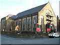
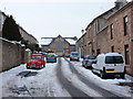
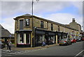
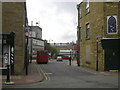
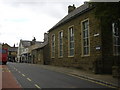
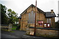
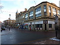

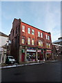
100 photos from this area
Area Information
Key information about the BB5 2AH including its size, population, and administrative classification.
- Area Type
- Postcode
- Area Size
- 1.8 hectares
- Population
- 1404
- Population Density
- 438 people/km²
House Prices in BB5 2AH
54
Properties
£136,534
Average Sold Price
£28,850
Lowest Price
£279,950
Highest Price
Showing 54 properties
| Address | Type | Beds | Baths | Last Sale Price | Last Sale Date | |
|---|---|---|---|---|---|---|
| 12 Ascot Way, Accrington, BB5 2AH | Bungalow | 2 | 1 | £170,000 | Sep 2024 | |
| 37 Ascot Way, Accrington, BB5 2AH | Semi-detached | 2 | 1 | £130,000 | Apr 2024 | |
| 16 Ascot Way, Accrington, BB5 2AH | Bungalow | 2 | 1 | £175,000 | Jan 2023 | |
| 31 Ascot Way, Accrington, BB5 2AH | Semi-detached | 3 | 1 | £217,000 | Oct 2022 | |
| 17 Ascot Way, Accrington, BB5 2AH | Bungalow | - | - | £247,500 | Sep 2022 | |
| 4 Ascot Way, Accrington, BB5 2AH | Semi-detached | 2 | 1 | £185,000 | Aug 2022 | |
| 57 Ascot Way, Accrington, BB5 2AH | Retail | 6 | 2 | £279,950 | Jul 2022 | |
| 55 Ascot Way, Accrington, BB5 2AH | house | - | - | £155,000 | Mar 2022 | |
| 29 Ascot Way, Accrington, BB5 2AH | Semi-detached | 2 | - | £147,000 | Feb 2022 | |
| 63 Ascot Way, Accrington, BB5 2AH | Semi-detached | 3 | 1 | £185,000 | Oct 2021 |
Page 1 of 6
Energy Efficiency in BB5 2AH
Amenities
Schools
| Rank | School | Type | Entry gender | Ages |
|---|
Explore more schools in this area
Go to Schools tabDemographics
Household Size
Two person
most common
Accommodation Type
Houses
most common
Tenure
71
majority
Ethnic Group
White
most common
Religion
N/A
most common
Household Composition
N/A
most common
Age
47
median
Adults (30-64 years)
most common
Household Deprivation
N/A
with no deprivation
NS-SEC
30
in Lower managerial occupations
Explore more demographic insights in this area
Go to Demographics tabPlanning
Planning Constraints
- Flood RiskPremium
- Ramsar Wetland SitesPremium
- Area of Outstanding Natural BeautyPremium
- Protected Nature ReservePremium
- Protected WoodlandPremium