Area Overview for BB2 4AA
Photos of BB2 4AA
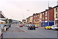
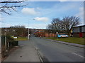
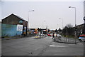
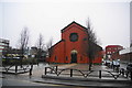
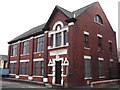
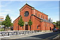
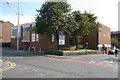
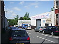
48 photos from this area
Area Information
Key information about the BB2 4AA including its size, population, and administrative classification.
- Area Type
- Postcode
- Area Size
- 9913 m²
- Population
- 1300
- Population Density
- 2564 people/km²
House Prices in BB2 4AA
5
Properties
-
Average Sold Price
-
Lowest Price
-
Highest Price
Showing 5 properties
| Address | Type | Beds | Baths | Last Sale Price | Last Sale Date | |
|---|---|---|---|---|---|---|
| A And S Motorbodies, Chadwick Street Mill, Chadwick Street, Blackburn, BB2 4AA | Industrial | - | - | - | - | |
| Evoque Motors, Unit 1 To 2, Evoque Business Park, Chadwick Street, Blackburn, BB2 4AA | commercial | - | - | - | - | |
| Learn To Drive, Unit 3, Evoque Business Park, Chadwick Street, Blackburn, BB2 4AA | Office | - | - | - | - | |
| Predators Mma Academy, Chadwick Street Mill, Chadwick Street, Blackburn, BB2 4AA | Leisure | - | - | - | - | |
| Paynes Transport Ltd, Yard Office, Wellington New Mill, Chadwick Street, Blackburn, BB2 4AA | Office | - | - | - | - |
Energy Efficiency in BB2 4AA
Amenities
Schools
| Rank | School | Type | Entry gender | Ages |
|---|
Explore more schools in this area
Go to Schools tabDemographics
Household Size
Family (3-5 people)
most common
Accommodation Type
Houses
most common
Tenure
46
majority
Ethnic Group
White
most common
Religion
N/A
most common
Household Composition
N/A
most common
Age
47
median
Adults (30-64 years)
most common
Household Deprivation
N/A
with no deprivation
NS-SEC
20
in Lower managerial occupations
Explore more demographic insights in this area
Go to Demographics tabPlanning
Planning Constraints
- Flood RiskPremium
- Ramsar Wetland SitesPremium
- Area of Outstanding Natural BeautyPremium
- Protected Nature ReservePremium
- Protected WoodlandPremium