Area Overview for BB1 2JE
Photos of BB1 2JE
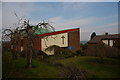
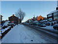
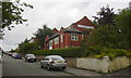
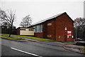
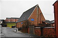
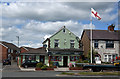
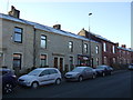
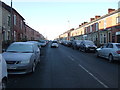
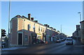
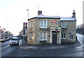
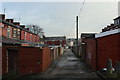
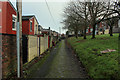
34 photos from this area
Area Information
Key information about the BB1 2JE including its size, population, and administrative classification.
- Area Type
- Postcode
- Area Size
- 1.4 hectares
- Population
- 1637
- Population Density
- 5694 people/km²
House Prices in BB1 2JE
48
Properties
£70,500
Average Sold Price
£28,000
Lowest Price
£125,000
Highest Price
Showing 48 properties
| Address | Type | Beds | Baths | Last Sale Price | Last Sale Date | |
|---|---|---|---|---|---|---|
| 83 Oban Drive, Blackburn, BB1 2JE | house | - | - | £108,000 | May 2025 | |
| 103 Oban Drive, Blackburn, BB1 2JE | Semi-detached | 3 | 1 | £125,000 | Jan 2023 | |
| 113 Oban Drive, Blackburn, BB1 2JE | Semi-detached | 2 | 1 | £54,000 | Aug 2018 | |
| 89 Oban Drive, Blackburn, BB1 2JE | Semi-detached | 3 | 1 | £52,000 | Feb 2014 | |
| 91 Oban Drive, Blackburn, BB1 2JE | Terraced | 3 | 1 | £72,000 | Nov 2007 | |
| 105 Oban Drive, Blackburn, BB1 2JE | Semi-detached | - | - | £76,000 | Jun 2005 | |
| 111 Oban Drive, Blackburn, BB1 2JE | house | 2 | - | £49,000 | Apr 2005 | |
| 81 Oban Drive, Blackburn, BB1 2JE | house | - | - | £28,000 | Apr 1997 | |
| 131 Oban Drive, Blackburn, BB1 2JE | house | 2 | 2 | - | - | |
| 45 Oban Drive, Blackburn, BB1 2JE | Maisonette | - | - | - | - |
Page 1 of 5
Energy Efficiency in BB1 2JE
Amenities
Schools
| Rank | School | Type | Entry gender | Ages |
|---|
Explore more schools in this area
Go to Schools tabDemographics
Household Size
Family (3-5 people)
most common
Accommodation Type
Houses
most common
Tenure
34
majority
Ethnic Group
White
most common
Religion
N/A
most common
Household Composition
N/A
most common
Age
47
median
Adults (30-64 years)
most common
Household Deprivation
N/A
with no deprivation
NS-SEC
12
in Lower managerial occupations
Explore more demographic insights in this area
Go to Demographics tabPlanning
Planning Constraints
- Flood RiskPremium
- Ramsar Wetland SitesPremium
- Area of Outstanding Natural BeautyPremium
- Protected Nature ReservePremium
- Protected WoodlandPremium