Area Overview for TS17 5FW
Photos of TS17 5FW
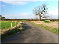
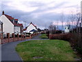
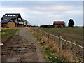
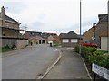
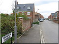
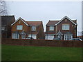
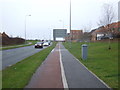
11 photos from this area
Area Information
Key information about the TS17 5FW including its size, population, and administrative classification.
- Area Type
- Postcode
- Area Size
- 5499 m²
- Population
- 2727
- Population Density
- 5910 people/km²
House Prices in TS17 5FW
23
Properties
£165,288
Average Sold Price
£117,000
Lowest Price
£239,950
Highest Price
Showing 23 properties
| Address | Type | Beds | Baths | Last Sale Price | Last Sale Date | |
|---|---|---|---|---|---|---|
| 10 Lindum Way, Ingleby Barwick, TS17 5FW | Detached | 3 | 2 | £117,000 | Sep 2022 | |
| 8 Lindum Way, Ingleby Barwick, TS17 5FW | house | - | - | £152,950 | Feb 2021 | |
| 17 Lindum Way, Ingleby Barwick, TS17 5FW | house | 3 | 2 | £161,950 | Jan 2021 | |
| 21 Lindum Way, Ingleby Barwick, TS17 5FW | house | - | - | £161,950 | Jan 2021 | |
| 25 Lindum Way, Ingleby Barwick, TS17 5FW | house | - | - | £139,950 | Dec 2020 | |
| 31 Lindum Way, Ingleby Barwick, TS17 5FW | house | - | - | £204,950 | Dec 2020 | |
| 29 Lindum Way, Ingleby Barwick, TS17 5FW | house | - | - | £139,950 | Dec 2020 | |
| 27 Lindum Way, Ingleby Barwick, TS17 5FW | house | - | - | £134,950 | Dec 2020 | |
| 6 Lindum Way, Ingleby Barwick, TS17 5FW | house | - | - | £154,950 | Nov 2020 | |
| 15 Lindum Way, Ingleby Barwick, TS17 5FW | house | - | - | £174,950 | Sep 2020 |
Page 1 of 3
Energy Efficiency in TS17 5FW
Amenities
Schools
| Rank | School | Type | Entry gender | Ages |
|---|
Explore more schools in this area
Go to Schools tabDemographics
Household Size
Family (3-5 people)
most common
Accommodation Type
Houses
most common
Tenure
75
majority
Ethnic Group
White
most common
Religion
N/A
most common
Household Composition
N/A
most common
Age
47
median
Adults (30-64 years)
most common
Household Deprivation
N/A
with no deprivation
NS-SEC
43
in Lower managerial occupations
Explore more demographic insights in this area
Go to Demographics tabPlanning
Planning Constraints
- Flood RiskPremium
- Ramsar Wetland SitesPremium
- Area of Outstanding Natural BeautyPremium
- Protected Nature ReservePremium
- Protected WoodlandPremium