Area Overview for TS17 5FS
Photos of TS17 5FS
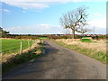
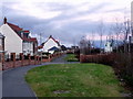
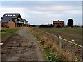
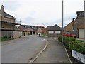
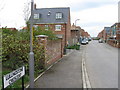
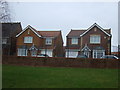
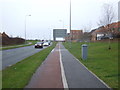
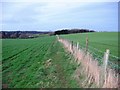
11 photos from this area
Area Information
Key information about the TS17 5FS including its size, population, and administrative classification.
- Area Type
- Postcode
- Area Size
- 2.5 hectares
- Population
- 2727
- Population Density
- 5910 people/km²
House Prices in TS17 5FS
83
Properties
£186,783
Average Sold Price
£100,257
Lowest Price
£279,950
Highest Price
Showing 83 properties
| Address | Type | Beds | Baths | Last Sale Price | Last Sale Date | |
|---|---|---|---|---|---|---|
| 65 Port Way, Ingleby Barwick, TS17 5FS | Detached | 3 | 2 | £230,000 | Jul 2025 | |
| 96 Port Way, Ingleby Barwick, TS17 5FS | Detached | 3 | 2 | £235,000 | Sep 2024 | |
| 49 Port Way, Ingleby Barwick, TS17 5FS | Terraced | 2 | 1 | £152,000 | Sep 2023 | |
| 64 Port Way, Ingleby Barwick, TS17 5FS | Terraced | 3 | 2 | £173,500 | Feb 2023 | |
| 52 Port Way, Ingleby Barwick, TS17 5FS | house | - | - | £254,950 | May 2022 | |
| 94 Port Way, Ingleby Barwick, TS17 5FS | house | 3 | 2 | £179,950 | Apr 2022 | |
| 88 Port Way, Ingleby Barwick, TS17 5FS | Detached | 3 | 2 | £214,950 | Apr 2022 | |
| 72 Port Way, Ingleby Barwick, TS17 5FS | house | - | - | £242,950 | Apr 2022 | |
| 78 Port Way, Ingleby Barwick, TS17 5FS | house | - | - | £279,950 | Mar 2022 | |
| 66 Port Way, Ingleby Barwick, TS17 5FS | house | - | - | £169,950 | Feb 2022 |
Page 1 of 9
Energy Efficiency in TS17 5FS
Amenities
Schools
| Rank | School | Type | Entry gender | Ages |
|---|
Explore more schools in this area
Go to Schools tabDemographics
Household Size
Family (3-5 people)
most common
Accommodation Type
Houses
most common
Tenure
75
majority
Ethnic Group
White
most common
Religion
N/A
most common
Household Composition
N/A
most common
Age
47
median
Adults (30-64 years)
most common
Household Deprivation
N/A
with no deprivation
NS-SEC
43
in Lower managerial occupations
Explore more demographic insights in this area
Go to Demographics tabPlanning
Planning Constraints
- Flood RiskPremium
- Ramsar Wetland SitesPremium
- Area of Outstanding Natural BeautyPremium
- Protected Nature ReservePremium
- Protected WoodlandPremium